Sélibaby night lights from space
Night Light of Sélibaby (Guidimaka) from space (Mauritania) Src. Average luminocity for 10x10km area is 0.1736% and for 50x50km: 0.0069%.
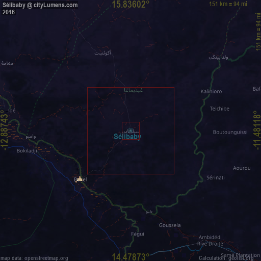
Analysis of Sélibaby night lights 2016
Square area 10x10 km:
 0%
0%90-99
0%80-89
0%70-79
0%60-69
0%50-59
0%40-49
0%30-39
0%20-29
0.41%10-19
0.41%0-9
99.17%Square area 50x50 km:
0%90-99
0%80-89
0%70-79
0%60-69
0%50-59
0%40-49
0%30-39
0%20-29
0.02%10-19
0.02%0-9
99.97%Clear (daylight) street map image can be seen on geolist.org.
Map coordinates:
15° 50' 9.7" North, 12° 53' 14.7" West
15° 9' 30.5" North, 12° 11' 3.5" West
14° 28' 43.4" North, 11° 28' 52.2" West
Some cities around Sélibaby sort by population:
• Kayes, ML
112.2 km =69.7 mi,  134°
134°
• Kaédi
179.2 km =111.3 mi,  307°
307°
• Matam, SN
127.4 km =79.2 mi,  295°
295°
• Ouro Sogui, SN
131.8 km =81.9 mi,  292°
292°
• Kanel, SN
112.6 km =70 mi, 289°
• Waoundé, SN
74.3 km =46.2 mi,  279°
279°
• Diawara, SN
41.5 km =25.8 mi,  248°
248°
• Sémé, SN
81.7 km =50.8 mi,  272°
272°
2376719 (p: 18,424)
Sources (retrieved 2019-11-25):
» Earth at Night: Flat Maps 2012, 2016