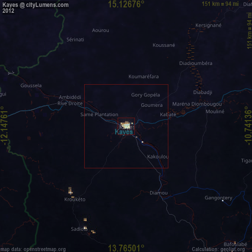
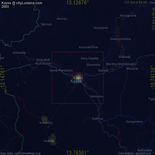
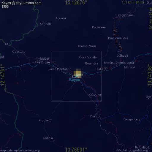
Kayes night lights from space
Night Light of Kayes from space (Mali) Src. Average luminocity for 10x10km area is 17.0909% and for 50x50km: 0.8102%.
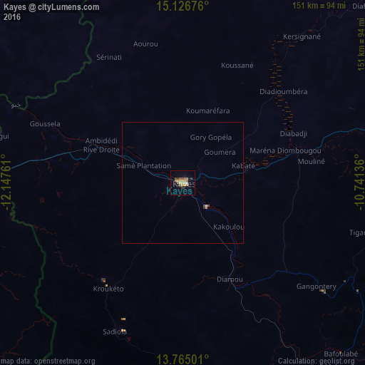
Analysis of Kayes night lights 2016
Square area 10x10 km:
 0.65%
0.65%90-99
1.52%80-89
1.3%70-79
7.36%60-69
2.81%50-59
2.38%40-49
1.3%30-39
2.6%20-29
0.87%10-19
1.73%0-9
77.49%Square area 50x50 km:
0.04%90-99
0.08%80-89
0.05%70-79
0.32%60-69
0.11%50-59
0.11%40-49
0.1%30-39
0.13%20-29
0.03%10-19
0.07%0-9
98.97%Clear (daylight) street map image can be seen on geolist.org.
Map coordinates:
15° 7' 36.3" North, 12° 8' 51.4" West
14° 26' 48.9" North, 11° 26' 40.1" West
13° 45' 54" North, 10° 44' 28.9" West
Some cities around Kayes sort by population:
• Bafoulabé
97.1 km =60.3 mi,  137°
137°
• Sélibaby, MR
112.2 km =69.7 mi,  314°
314°
• Kédougou, SN
224.9 km =139.7 mi,  200°
200°
• Matam, SN
236.4 km =146.9 mi,  304°
304°
• Kanel, SN
219.3 km =136.3 mi, 301°
• Waoundé, SN
177.9 km =110.5 mi, 300°
• Diawara, SN
134.4 km =83.5 mi, 298°
• Sémé, SN
181.4 km =112.7 mi, 297°
2455518 (p: 78,406)
Sources (retrieved 2019-11-25):
» NASA, Earths city lights 1995
» NASA city lights 2003
» Earth at Night: Flat Maps 2012, 2016