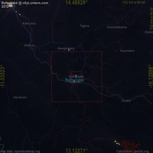
Bafoulabé night lights from space
Night Light of Bafoulabé (Kayes) from space (Mali) Src. Average luminocity for 10x10km area is 0.4938% and for 50x50km: 0.0416%.
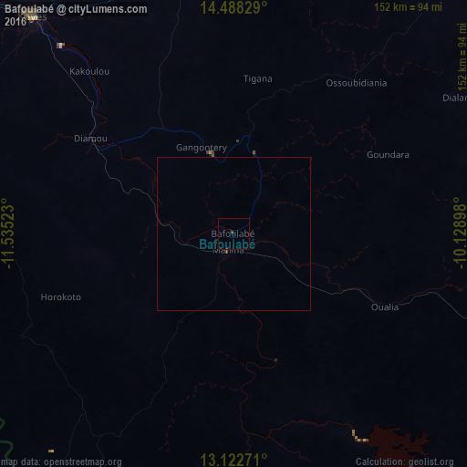
Analysis of Bafoulabé night lights 2016
Square area 10x10 km:
 0%
0%90-99
0%80-89
0%70-79
0%60-69
0%50-59
0%40-49
0.41%30-39
0.41%20-29
0.41%10-19
0%0-9
98.76%Square area 50x50 km:
0%90-99
0%80-89
0%70-79
0%60-69
0%50-59
0%40-49
0.02%30-39
0.05%20-29
0.03%10-19
0%0-9
99.9%Clear (daylight) street map image can be seen on geolist.org.
Map coordinates:
14° 29' 17.8" North, 11° 32' 6.8" West
13° 48' 23.4" North, 10° 49' 55.6" West
13° 7' 21.8" North, 10° 7' 44.3" West
Some cities around Bafoulabé sort by population:
• Kayes
97.1 km =60.3 mi,  317°
317°
• Sélibaby, MR
209.3 km =130.1 mi, 315°
• Kédougou, SN
201.6 km =125.3 mi,  226°
226°
• Sagalo
179.2 km =111.3 mi,  175°
175°
• Kokofata
140.2 km =87.1 mi,  137°
137°
• Diré
170 km =105.6 mi, 184°
• Diawara, SN
228.6 km =142 mi,  306°
306°
• Kita
168.7 km =104.8 mi,  120°
120°
2460755 (p: 26,823)
Sources (retrieved 2019-11-25):
» Earth at Night: Flat Maps 2012, 2016