Waoundé night lights from space
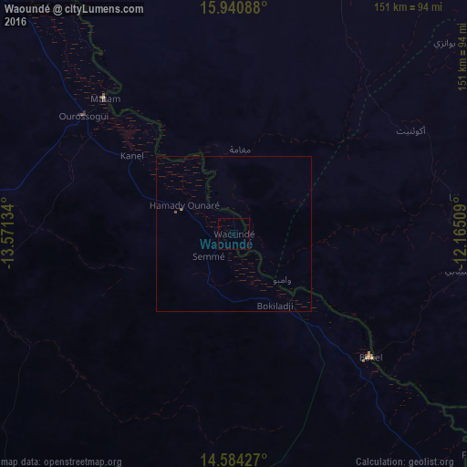
Night Light of Waoundé (Matam) from space (Senegal) Src. Average luminocity for 10x10km area is 0% and for 50x50km: 0.0402%.
Analysis of Waoundé night lights 2016
Square area 10x10 km:
 0%
0%90-99
0%80-89
0%70-79
0%60-69
0%50-59
0%40-49
0%30-39
0%20-29
0%10-19
0%0-9
100%Square area 50x50 km:
0%90-99
0%80-89
0%70-79
0%60-69
0%50-59
0.07%40-49
0%30-39
0%20-29
0%10-19
0%0-9
99.93%Clear (daylight) street map image can be seen on geolist.org.
Map coordinates:
15° 56' 27.2" North, 13° 34' 16.8" West
15° 15' 49.2" North, 12° 52' 5.6" West
14° 35' 3.4" North, 12° 9' 54.3" West
Some cities around Waoundé sort by population:
• Kaédi, MR
119.8 km =74.4 mi,  325°
325°
• Sélibaby, MR
74.3 km =46.2 mi,  99°
99°
• Matam
60.2 km =37.4 mi,  316°
316°
• Ouro Sogui
61.8 km =38.4 mi,  308°
308°
• Kanel
41.6 km =25.8 mi, 307°
• Diawara
44 km =27.3 mi,  127°
127°
• Goléré
172 km =106.9 mi, 309°
• Sémé
11.3 km =7 mi,  226°
226°
2247044 (p: 9,085)
Sources (retrieved 2019-11-25):
» Earth at Night: Flat Maps 2012, 2016