Ducos night lights from space
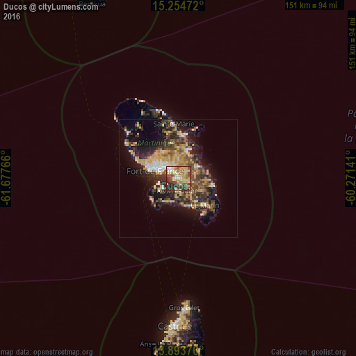
Night Light of Ducos (Martinique) from space (Martinique) Src. Average luminocity for 10x10km area is 63.4805% and for 50x50km: 19.6466%.
Analysis of Ducos night lights 2016
Square area 10x10 km:
 4.33%
4.33%90-99
6.06%80-89
26.84%70-79
10.82%60-69
9.09%50-59
8.44%40-49
11.26%30-39
11.26%20-29
11.9%10-19
0%0-9
0%Square area 50x50 km:
1.58%90-99
1.79%80-89
4.04%70-79
3.74%60-69
2.35%50-59
2.65%40-49
3.85%30-39
4.74%20-29
5.54%10-19
10.68%0-9
59.04%Clear (daylight) street map image can be seen on geolist.org.
Map coordinates:
15° 15' 17" North, 61° 40' 39.6" West
14° 34' 31" North, 60° 58' 28.3" West
13° 53' 37.5" North, 60° 16' 17.1" West
Some cities around Ducos sort by population:
• Fort-de-France
11.2 km =7 mi,  286°
286°
• Le Lamentin
5 km =3.1 mi,  327°
327°
• Le Robert
11.9 km =7.4 mi,  16°
16°
• Le François
8.9 km =5.5 mi,  60°
60°
• Saint-Joseph
12.7 km =7.9 mi, 326°
• Rivière-Pilote
12.5 km =7.8 mi,  141°
141°
• Saint-Esprit
5.3 km =3.3 mi,  122°
122°
• Les Trois-Îlets
7.5 km =4.7 mi,  237°
237°
3570785 (p: 17,394)
Sources (retrieved 2019-11-25):
» Earth at Night: Flat Maps 2012, 2016