Saint-Joseph night lights from space
Night Light of Saint-Joseph (Martinique) from space (Martinique) Src. Average luminocity for 10x10km area is 58.3884% and for 50x50km: 20.4287%.
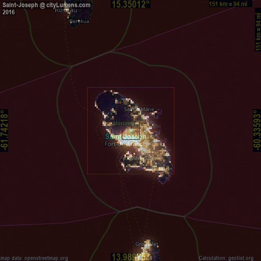
Analysis of Saint-Joseph night lights 2016
Square area 10x10 km:
 8.26%
8.26%90-99
6.82%80-89
14.26%70-79
16.53%60-69
7.02%50-59
5.37%40-49
7.64%30-39
10.74%20-29
11.36%10-19
10.74%0-9
1.24%Square area 50x50 km:
1.6%90-99
1.89%80-89
4.14%70-79
3.86%60-69
2.43%50-59
2.81%40-49
3.98%30-39
5.15%20-29
5.76%10-19
10.57%0-9
57.79%Clear (daylight) street map image can be seen on geolist.org.
Map coordinates:
15° 21' 0.4" North, 61° 44' 31.8" West
14° 40' 15.6" North, 61° 2' 20.6" West
13° 59' 23.1" North, 60° 20' 9.3" West
Some cities around Saint-Joseph sort by population:
• Fort-de-France
8.4 km =5.2 mi,  206°
206°
• Le Lamentin
7.7 km =4.8 mi,  146°
146°
• Le Robert
10.4 km =6.5 mi,  86°
86°
• Ducos
12.7 km =7.9 mi, 146°
• La Trinité
11.1 km =6.9 mi,  47°
47°
• Le Gros-Morne
5.3 km =3.3 mi, 52°
• Les Trois-Îlets
14.7 km =9.1 mi,  177°
177°
• Le Morne-Rouge
15.6 km =9.7 mi,  318°
318°
3569915 (p: 16,974)
Sources (retrieved 2019-11-25):
» Earth at Night: Flat Maps 2012, 2016