Kyaikto night lights from space
Night Light of Kyaikto (Mon) from space (Myanmar) Src. Average luminocity for 10x10km area is 8.562% and for 50x50km: 1.0125%.
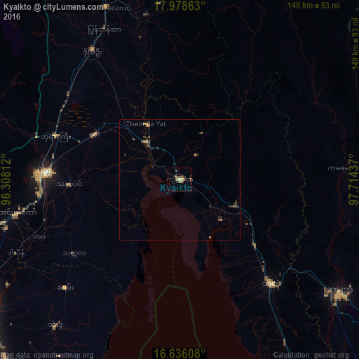
Analysis of Kyaikto night lights 2016
Square area 10x10 km:
 0%
0%90-99
0%80-89
3.1%70-79
0.21%60-69
1.24%50-59
1.03%40-49
3.93%30-39
3.31%20-29
0.83%10-19
0.21%0-9
86.16%Square area 50x50 km:
0%90-99
0%80-89
0.19%70-79
0.09%60-69
0.24%50-59
0.09%40-49
0.35%30-39
0.46%20-29
0.41%10-19
0.16%0-9
98.01%Clear (daylight) street map image can be seen on geolist.org.
Map coordinates:
17° 58' 43.1" North, 96° 18' 29.2" East
17° 18' 30.9" North, 97° 0' 40.5" East
16° 38' 9.9" North, 97° 42' 51.7" East
Some cities around Kyaikto sort by population:
• Bago
56.3 km =35 mi,  273°
273°
• Thaton
57.7 km =35.9 mi,  138°
138°
• Nyaunglebin
78 km =48.5 mi,  336°
336°
• Syriam
101.2 km =62.9 mi,  233°
233°
• Thongwa
80 km =49.7 mi,  220°
220°
• Hpa-An
81 km =50.3 mi,  125°
125°
• Kayan
65.4 km =40.6 mi, 227°
• Thanatpin
46.3 km =28.8 mi, 267°
1317375 (p: 48,658)
Sources (retrieved 2019-11-25):
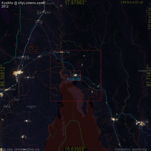
» Earth at Night: Flat Maps 2012, 2016