Thanatpin night lights from space
Night Light of Thanatpin (Bago) from space (Myanmar) Src. Average luminocity for 10x10km area is 2.9029% and for 50x50km: 3.3566%.
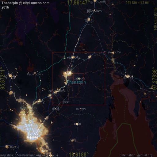
Analysis of Thanatpin night lights 2016
Square area 10x10 km:
 0%
0%90-99
0%80-89
0%70-79
0.83%60-69
0.83%50-59
0%40-49
0.83%30-39
0%20-29
0.83%10-19
1.03%0-9
95.66%Square area 50x50 km:
0.06%90-99
0.14%80-89
0.59%70-79
0.85%60-69
0.46%50-59
0.45%40-49
0.64%30-39
0.56%20-29
0.6%10-19
2.46%0-9
93.18%Clear (daylight) street map image can be seen on geolist.org.
Map coordinates:
17° 57' 41.3" North, 95° 52' 19.6" East
17° 17' 28.9" North, 96° 34' 30.8" East
16° 37' 7.7" North, 97° 16' 42.1" East
Some cities around Thanatpin sort by population:
• Yangon
70 km =43.5 mi,  219°
219°
• Bago
11.1 km =6.9 mi,  296°
296°
• Nyaunglebin
75.3 km =46.8 mi,  11°
11°
• Syriam
67.9 km =42.2 mi,  211°
211°
• Kanbe
89.1 km =55.4 mi, 223°
• Thongwa
59.3 km =36.8 mi,  185°
185°
• Kyaikto
46.3 km =28.8 mi,  87°
87°
• Kayan
42.7 km =26.5 mi,  182°
182°
1292579 (p: 38,059)
Sources (retrieved 2019-11-25):
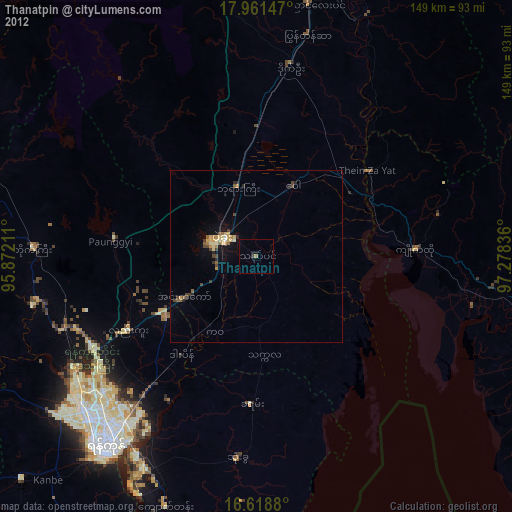
» Earth at Night: Flat Maps 2012, 2016