Bago night lights from space
Night Light of Bago from space (Myanmar) Src. Average luminocity for 10x10km area is 39.1012% and for 50x50km: 3.7449%.
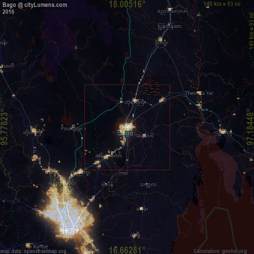
Analysis of Bago night lights 2016
Square area 10x10 km:
 1.45%
1.45%90-99
3.51%80-89
11.16%70-79
11.36%60-69
4.34%50-59
5.17%40-49
4.75%30-39
3.72%20-29
7.64%10-19
37.19%0-9
9.71%Square area 50x50 km:
0.06%90-99
0.14%80-89
0.64%70-79
0.93%60-69
0.5%50-59
0.48%40-49
0.91%30-39
0.58%20-29
0.77%10-19
2.54%0-9
92.45%Clear (daylight) street map image can be seen on geolist.org.
Map coordinates:
18° 0' 18.6" North, 95° 46' 41.6" East
17° 20' 6.8" North, 96° 28' 52.9" East
16° 39' 46.1" North, 97° 11' 4.1" East
Some cities around Bago sort by population:
• Yangon
68.3 km =42.4 mi,  210°
210°
• Nyaunglebin
73.4 km =45.6 mi,  20°
20°
• Syriam
67.8 km =42.1 mi,  201°
201°
• Tharyarwady
81.6 km =50.7 mi,  295°
295°
• Thongwa
64.1 km =39.8 mi,  175°
175°
• Kyaikto
56.3 km =35 mi,  93°
93°
• Kayan
48.2 km =30 mi,  169°
169°
• Thanatpin
11.1 km =6.9 mi,  116°
116°
1300466 (p: 244,376)
Sources (retrieved 2019-11-25):
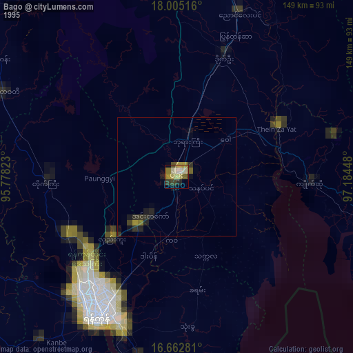
» NASA, Earths city lights 1995
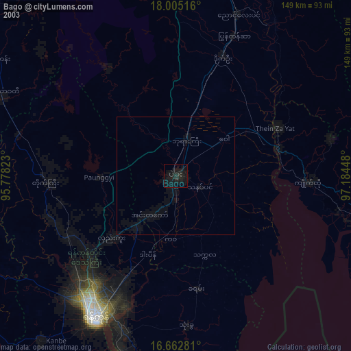
» NASA city lights 2003
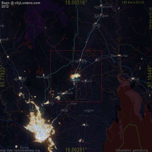
» Earth at Night: Flat Maps 2012, 2016