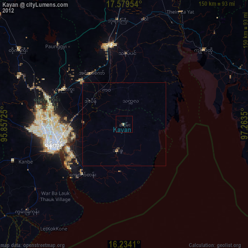
Kayan night lights from space
Night Light of Kayan (Rangoon) from space (Myanmar) Src. Average luminocity for 10x10km area is 3.039% and for 50x50km: 0.4962%.
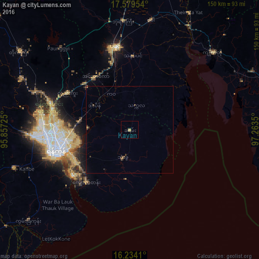
Analysis of Kayan night lights 2016
Square area 10x10 km:
100  0%
0%
90-99 0%
80-89 0.22%
70-79 3.25%
60-69 0%
50-59 0%
40-49 0%
30-39 0%
20-29 0%
10-19 0%
0-9 96.54%
0%90-99
0%80-89
0.22%70-79
3.25%60-69
0%50-59
0%40-49
0%30-39
0%20-29
0%10-19
0%0-9
96.54%Square area 50x50 km:
100 0%
90-99 0%
80-89 0.04%
70-79 0.18%
60-69 0.01%
50-59 0.11%
40-49 0.11%
30-39 0.18%
20-29 0.04%
10-19 0.08%
0-9 99.25%
0%90-99
0%80-89
0.04%70-79
0.18%60-69
0.01%50-59
0.11%40-49
0.11%30-39
0.18%20-29
0.04%10-19
0.08%0-9
99.25%Clear (daylight) street map image can be seen on geolist.org.
Map coordinates:
17° 34' 46.3" North, 95° 51' 26.1" East
16° 54' 28.9" North, 96° 33' 37.3" East
16° 14' 2.8" North, 97° 15' 48.6" East
Some cities around Kayan sort by population:
• Yangon
44.5 km =27.7 mi,  255°
255°
• Bago
48.2 km =30 mi,  349°
349°
• Syriam
37 km =23 mi,  245°
245°
• Kanbe
63.5 km =39.5 mi, 249°
• Thongwa
16.9 km =10.5 mi,  192°
192°
• Kyaikto
65.4 km =40.6 mi,  47°
47°
• Twante
70.7 km =43.9 mi, 251°
• Thanatpin
42.7 km =26.5 mi,  2°
2°
1319533 (p: 40,322)
Sources (retrieved 2019-11-25):
» Earth at Night: Flat Maps 2012, 2016