Nyaunglebin night lights from space
Night Light of Nyaunglebin (Bago) from space (Myanmar) Src. Average luminocity for 10x10km area is 3.4719% and for 50x50km: 0.5025%.
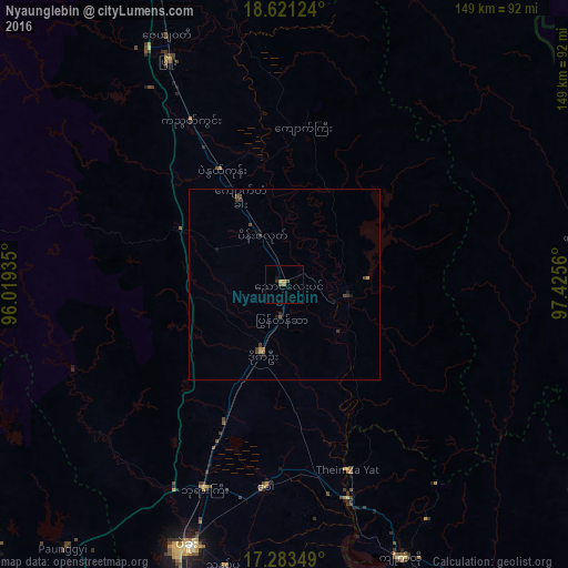
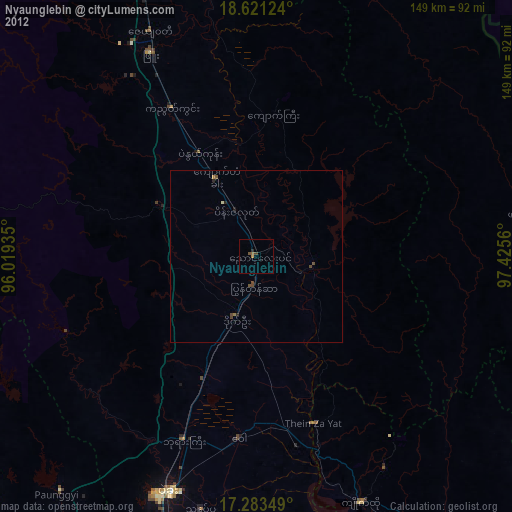
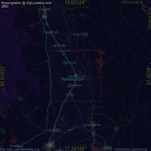
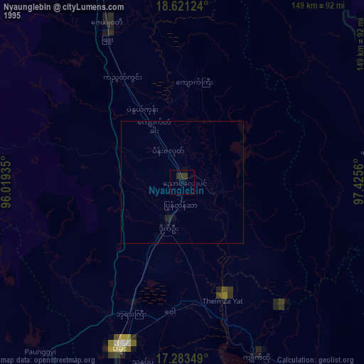
Analysis of Nyaunglebin night lights 2016
Square area 10x10 km:
 0%
0%90-99
0%80-89
0.22%70-79
1.52%60-69
1.73%50-59
0%40-49
0.87%30-39
0%20-29
0.87%10-19
0.87%0-9
93.94%Square area 50x50 km:
0%90-99
0%80-89
0.04%70-79
0.12%60-69
0.08%50-59
0.08%40-49
0.25%30-39
0.16%20-29
0.13%10-19
0.2%0-9
98.93%Clear (daylight) street map image can be seen on geolist.org.
Map coordinates:
18° 37' 16.5" North, 96° 1' 9.7" East
17° 57' 13.1" North, 96° 43' 20.9" East
17° 17' 0.6" North, 97° 25' 32.2" East
Some cities around Nyaunglebin sort by population:
• Bago
73.4 km =45.6 mi,  200°
200°
• Taungoo
114.1 km =70.9 mi,  344°
344°
• Tharyarwady
104.4 km =64.9 mi,  251°
251°
• Kyaikto
78 km =48.5 mi,  156°
156°
• Pyu
65.9 km =40.9 mi,  332°
332°
• Kayan
117.5 km =73 mi,  188°
188°
• Letpandan
104.5 km =64.9 mi,  259°
259°
• Thanatpin
75.3 km =46.8 mi, 191°
1303406 (p: 89,626)
Sources (retrieved 2019-11-25):
» NASA, Earths city lights 1995
» NASA city lights 2003
» Earth at Night: Flat Maps 2012, 2016