Hpa-An night lights from space
Night Light of Hpa-An (Kayin) from space (Myanmar) Src. Average luminocity for 10x10km area is 24.0866% and for 50x50km: 1.3748%.
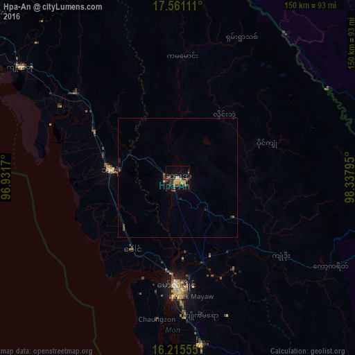

Analysis of Hpa-An night lights 2016
Square area 10x10 km:
 0%
0%90-99
0%80-89
2.81%70-79
10.39%60-69
1.95%50-59
4.11%40-49
3.68%30-39
9.09%20-29
5.84%10-19
12.99%0-9
49.13%Square area 50x50 km:
0%90-99
0%80-89
0.13%70-79
0.41%60-69
0.16%50-59
0.2%40-49
0.32%30-39
0.49%20-29
0.4%10-19
0.57%0-9
97.32%Clear (daylight) street map image can be seen on geolist.org.
Map coordinates:
17° 33' 40" North, 96° 55' 54.1" East
16° 53' 22.3" North, 97° 38' 5.4" East
16° 12' 56" North, 98° 20' 16.6" East
Some cities around Hpa-An sort by population:
• Mawlamyine
44.4 km =27.6 mi,  180°
180°
• Thaton
28.4 km =17.6 mi,  276°
276°
• Mudon
71.1 km =44.2 mi,  172°
172°
• Kyaikto
81 km =50.3 mi,  305°
305°
• Martaban
40.2 km =25 mi, 182°
• Kyaikkami
90.7 km =56.4 mi, 184°
• Myawadi
95.7 km =59.5 mi,  103°
103°
• Mae Ramat, TH
94.4 km =58.7 mi,  83°
83°
1302849 (p: 50,000)
Sources (retrieved 2019-11-25):
» NASA, Earths city lights 1995
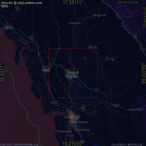
» NASA city lights 2003
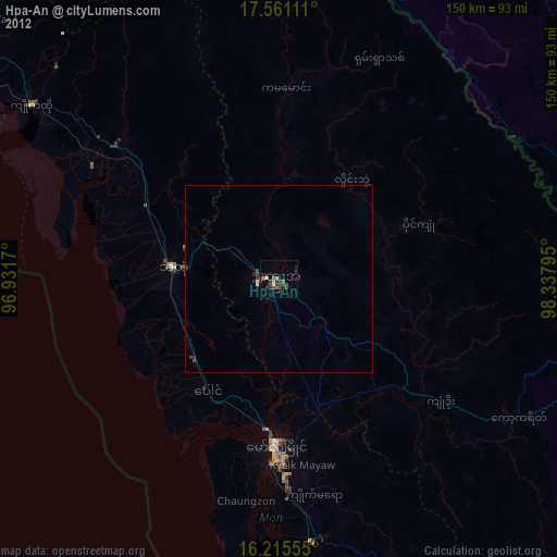
» Earth at Night: Flat Maps 2012, 2016