Thaton night lights from space
Night Light of Thaton (Mon) from space (Myanmar) Src. Average luminocity for 10x10km area is 15.4632% and for 50x50km: 1.062%.
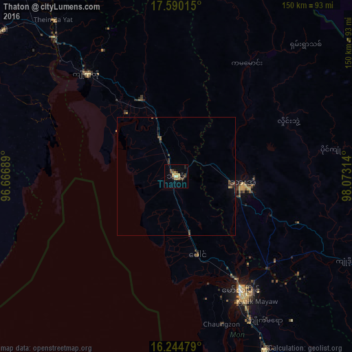
Analysis of Thaton night lights 2016
Square area 10x10 km:
 0.22%
0.22%90-99
1.3%80-89
3.46%70-79
2.16%60-69
4.11%50-59
0.65%40-49
4.11%30-39
2.16%20-29
2.6%10-19
1.95%0-9
77.27%Square area 50x50 km:
0.01%90-99
0.05%80-89
0.16%70-79
0.09%60-69
0.23%50-59
0.16%40-49
0.34%30-39
0.26%20-29
0.24%10-19
0.19%0-9
98.27%Clear (daylight) street map image can be seen on geolist.org.
Map coordinates:
17° 35' 24.5" North, 96° 40' 0.8" East
16° 55' 7.2" North, 97° 22' 12" East
16° 14' 41.2" North, 98° 4' 23.3" East
Some cities around Thaton sort by population:
• Mawlamyine
55 km =34.2 mi,  149°
149°
• Mudon
82.8 km =51.4 mi, 152°
• Thongwa
91.6 km =56.9 mi,  258°
258°
• Hpa-An
28.4 km =17.6 mi,  96°
96°
• Kyaikto
57.7 km =35.9 mi,  318°
318°
• Martaban
50.7 km =31.5 mi, 148°
• Kayan
86.1 km =53.5 mi,  269°
269°
• Thanatpin
94.1 km =58.5 mi,  296°
296°
1292288 (p: 123,727)
Sources (retrieved 2019-11-25):
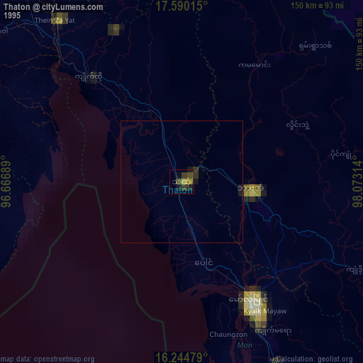
» NASA, Earths city lights 1995
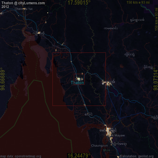
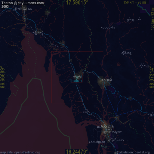
» NASA city lights 2003
» Earth at Night: Flat Maps 2012, 2016