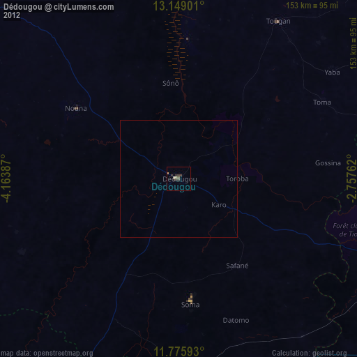
Dédougou night lights from space
Night Light of Dédougou (Boucle du Mouhoun) from space (Burkina Faso) Src. Average luminocity for 10x10km area is 10.5083% and for 50x50km: 0.4699%.
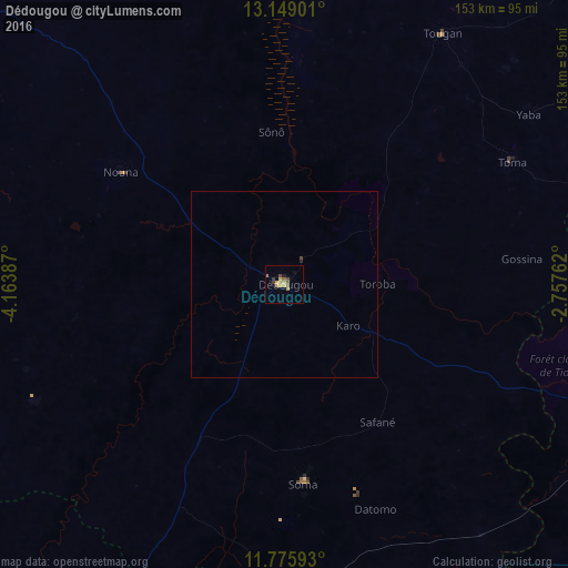
Analysis of Dédougou night lights 2016
Square area 10x10 km:
 0%
0%90-99
0%80-89
2.89%70-79
2.89%60-69
1.65%50-59
2.48%40-49
1.65%30-39
1.65%20-29
0.21%10-19
1.45%0-9
85.12%Square area 50x50 km:
0%90-99
0%80-89
0.12%70-79
0.12%60-69
0.07%50-59
0.1%40-49
0.1%30-39
0.07%20-29
0.04%10-19
0.06%0-9
99.33%Clear (daylight) street map image can be seen on geolist.org.
Map coordinates:
13° 8' 56.4" North, 4° 9' 49.9" West
12° 27' 48.2" North, 3° 27' 38.7" West
11° 46' 33.3" North, 2° 45' 27.4" West
Some cities around Dédougou sort by population:
• Koudougou
121.5 km =75.5 mi,  101°
101°
• Réo
108.7 km =67.5 mi, 98°
• Houndé
107.3 km =66.7 mi,  183°
183°
• Nouna
52.7 km =32.7 mi,  304°
304°
• Tougan
79.9 km =49.6 mi,  32°
32°
• Boromo
98.5 km =61.2 mi,  144°
144°
• Toma
69.2 km =43 mi,  61°
61°
• Salanso
75 km =46.6 mi,  244°
244°
2361477 (p: 45,341)
Sources (retrieved 2019-11-25):
» Earth at Night: Flat Maps 2012, 2016