Timbuktu night lights from space
Night Light of Timbuktu (Tombouctou) from space (Mali) Src. Average luminocity for 10x10km area is 5.3961% and for 50x50km: 0.22%.
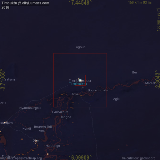
Analysis of Timbuktu night lights 2016
Square area 10x10 km:
 0.87%
0.87%90-99
0.87%80-89
0%70-79
0.87%60-69
0%50-59
0.87%40-49
0.43%30-39
3.68%20-29
1.52%10-19
0.43%0-9
90.48%Square area 50x50 km:
0.03%90-99
0.03%80-89
0%70-79
0.03%60-69
0%50-59
0.03%40-49
0.02%30-39
0.14%20-29
0.09%10-19
0.02%0-9
99.6%Clear (daylight) street map image can be seen on geolist.org.
Map coordinates:
17° 26' 43.7" North, 3° 42' 38" West
16° 46' 24.5" North, 3° 0' 26.7" West
16° 5' 56.7" North, 2° 18' 15.5" West
Some cities around Timbuktu sort by population:
• Mopti
284 km =176.5 mi,  206°
206°
• Gao
320.7 km =199.3 mi,  100°
100°
• Djibo, BF
332.2 km =206.4 mi,  153°
153°
• Goundam
81.2 km =50.5 mi,  240°
240°
• Douentza
197.1 km =122.5 mi,  178°
178°
• Ténenkou
328.8 km =204.3 mi,  218°
218°
• Niafunké
140.5 km =87.3 mi,  228°
228°
• Bandiagara
277.1 km =172.2 mi,  193°
193°
2449067 (p: 32,460)
Sources (retrieved 2019-11-25):
» Earth at Night: Flat Maps 2012, 2016