Gao night lights from space
Night Light of Gao from space (Mali) Src. Average luminocity for 10x10km area is 14.7335% and for 50x50km: 0.6496%.
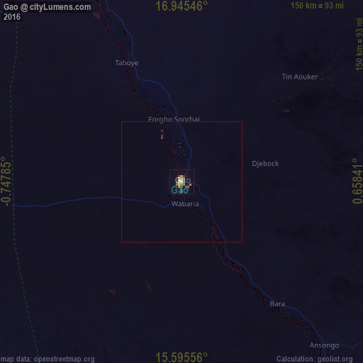
Analysis of Gao night lights 2016
Square area 10x10 km:
 0.62%
0.62%90-99
1.03%80-89
0.21%70-79
5.58%60-69
1.65%50-59
3.31%40-49
4.55%30-39
1.45%20-29
2.69%10-19
1.45%0-9
77.48%Square area 50x50 km:
0.02%90-99
0.04%80-89
0.01%70-79
0.22%60-69
0.07%50-59
0.13%40-49
0.18%30-39
0.09%20-29
0.17%10-19
0.06%0-9
99%Clear (daylight) street map image can be seen on geolist.org.
Map coordinates:
16° 56' 43.7" North, 0° 44' 52.3" West
16° 16' 18" North, 0° 2' 41" West
15° 35' 44" North, 0° 39' 30.3" East
Some cities around Gao sort by population:
• Dori, BF
248.7 km =154.5 mi,  179°
179°
• Ayorou, NE
200 km =124.3 mi,  148°
148°
• Djibo, BF
295.1 km =183.4 mi,  215°
215°
• Téra, NE
265.9 km =165.2 mi,  161°
161°
• Tillabéri, NE
280.3 km =174.2 mi,  144°
144°
• Kidal
286.3 km =177.9 mi,  32°
32°
• Ménaka
264.3 km =164.2 mi,  98°
98°
• Gorom-Gorom, BF
204.4 km =127 mi,  185°
185°
2457163 (p: 87,000)
Sources (retrieved 2019-11-25):
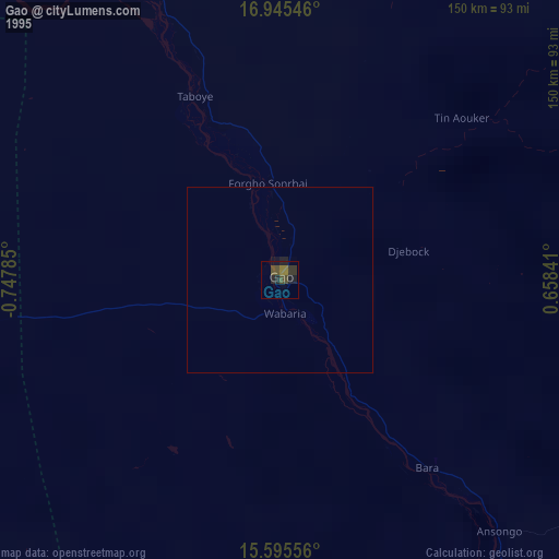
» NASA, Earths city lights 1995
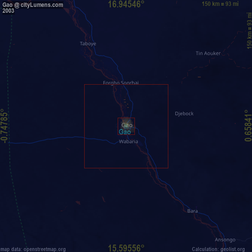
» NASA city lights 2003
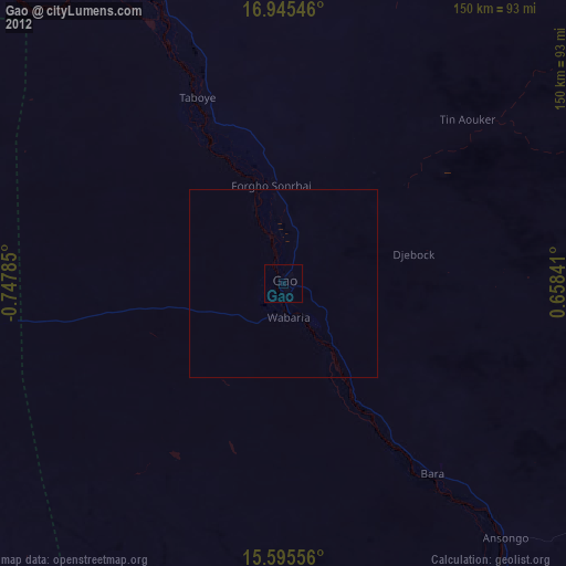
» Earth at Night: Flat Maps 2012, 2016