Djibo night lights from space
Night Light of Djibo (Sahel) from space (Burkina Faso) Src. Average luminocity for 10x10km area is 0.4848% and for 50x50km: 0.0187%.
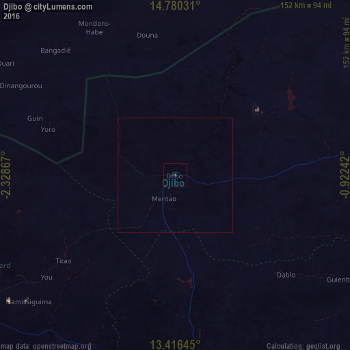
Analysis of Djibo night lights 2016
Square area 10x10 km:
 0%
0%90-99
0%80-89
0%70-79
0%60-69
0%50-59
0%40-49
0%30-39
0.87%20-29
0%10-19
0.87%0-9
98.27%Square area 50x50 km:
0%90-99
0%80-89
0%70-79
0%60-69
0%50-59
0%40-49
0%30-39
0.03%20-29
0%10-19
0.03%0-9
99.93%Clear (daylight) street map image can be seen on geolist.org.
Map coordinates:
14° 46' 49.1" North, 2° 19' 43.2" West
14° 5' 57.8" North, 1° 37' 31.9" West
13° 24' 59.2" North, 0° 55' 20.7" West
Some cities around Djibo sort by population:
• Ouahigouya
103.4 km =64.2 mi,  236°
236°
• Kaya
126.4 km =78.5 mi,  152°
152°
• Kongoussi
86.6 km =53.8 mi,  173°
173°
• Yako
144.2 km =89.6 mi,  208°
208°
• Titao
60.3 km =37.5 mi,  232°
232°
• Gourcy
126.9 km =78.9 mi,  218°
218°
• Boussé
162.5 km =101 mi,  190°
190°
• Gorom-Gorom
154.7 km =96.1 mi,  75°
75°
2361177 (p: 22,223)
Sources (retrieved 2019-11-25):
» Earth at Night: Flat Maps 2012, 2016