Taoudenni night lights from space
Night Light of Taoudenni (Taoudénit) from space (Mali) Src. Average luminocity for 10x10km area is 0% and for 50x50km: 0%.
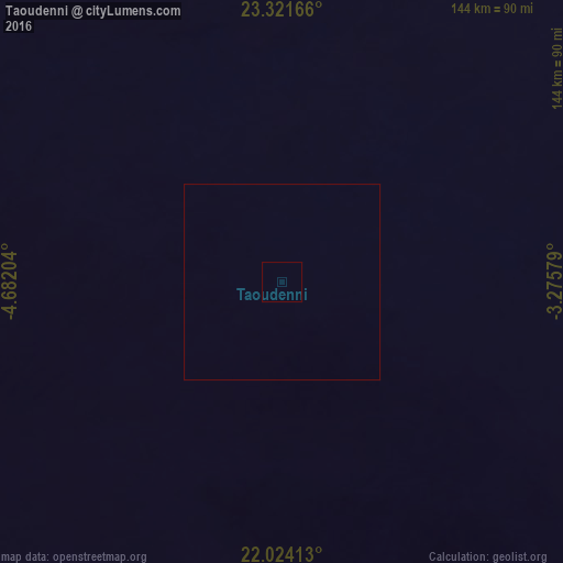
Analysis of Taoudenni night lights 2016
Square area 10x10 km:
 0%
0%90-99
0%80-89
0%70-79
0%60-69
0%50-59
0%40-49
0%30-39
0%20-29
0%10-19
0%0-9
100%Square area 50x50 km:
0%90-99
0%80-89
0%70-79
0%60-69
0%50-59
0%40-49
0%30-39
0%20-29
0%10-19
0%0-9
100%Clear (daylight) street map image can be seen on geolist.org.
Map coordinates:
23° 19' 18" North, 4° 40' 55.3" West
22° 40' 27.9" North, 3° 58' 44.1" West
22° 1' 26.9" North, 3° 16' 32.8" West
Some cities around Taoudenni sort by population:
• Tindouf, DZ
696 km =432.5 mi,  322°
322°
• Adrar, DZ
686.6 km =426.6 mi,  32°
32°
• Reggane, DZ
614.5 km =381.8 mi,  43°
43°
• Timbuktu
663.9 km =412.5 mi,  171°
171°
• Aoulef, DZ
699 km =434.3 mi,  46°
46°
• Kidal
732 km =454.8 mi,  130°
130°
• Goundam
696.8 km =433 mi,  177°
177°
• Niafunké
749.7 km =465.8 mi, 180°
2450173 (p: 3,019)
Sources (retrieved 2019-11-25):
» Earth at Night: Flat Maps 2012, 2016