Kidal night lights from space
Night Light of Kidal from space (Mali) Src. Average luminocity for 10x10km area is 0% and for 50x50km: 0%.
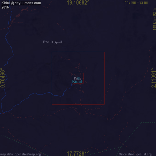
Analysis of Kidal night lights 2016
Square area 10x10 km:
 0%
0%90-99
0%80-89
0%70-79
0%60-69
0%50-59
0%40-49
0%30-39
0%20-29
0%10-19
0%0-9
100%Square area 50x50 km:
0%90-99
0%80-89
0%70-79
0%60-69
0%50-59
0%40-49
0%30-39
0%20-29
0%10-19
0%0-9
100%Clear (daylight) street map image can be seen on geolist.org.
Map coordinates:
19° 6' 24.6" North, 0° 42' 16.8" East
18° 26' 28" North, 1° 24' 28" East
17° 46' 22.1" North, 2° 6' 39.3" East
Some cities around Kidal sort by population:
• Gao
286.3 km =177.9 mi,  212°
212°
• Ayorou, NE
415.8 km =258.4 mi,  187°
187°
• Téra, NE
497.9 km =309.4 mi, 188°
• Tillabéri, NE
470.8 km =292.5 mi,  179°
179°
• Ménaka
299.7 km =186.2 mi,  159°
159°
• Inékar
331.7 km =206.1 mi,  146°
146°
• Ouallam, NE
464.3 km =288.5 mi,  171°
171°
• Gorom-Gorom, BF
477.8 km =296.9 mi,  201°
201°
2455290 (p: 11,643)
Sources (retrieved 2019-11-25):
» Earth at Night: Flat Maps 2012, 2016