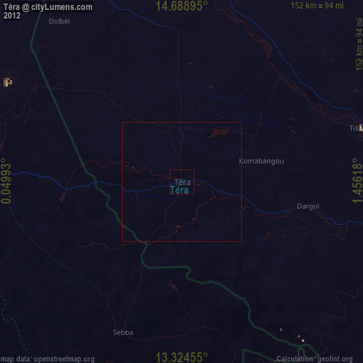
Téra night lights from space
Night Light of Téra (Tillabéri) from space (Niger) Src. Average luminocity for 10x10km area is 0% and for 50x50km: 0%.
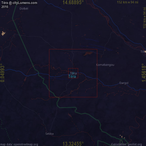
Analysis of Téra night lights 2016
Square area 10x10 km:
 0%
0%90-99
0%80-89
0%70-79
0%60-69
0%50-59
0%40-49
0%30-39
0%20-29
0%10-19
0%0-9
100%Square area 50x50 km:
0%90-99
0%80-89
0%70-79
0%60-69
0%50-59
0%40-49
0%30-39
0%20-29
0%10-19
0%0-9
100%Clear (daylight) street map image can be seen on geolist.org.
Map coordinates:
14° 41' 20.2" North, 0° 2' 59.7" East
14° 0' 27.9" North, 0° 45' 11" East
13° 19' 28.4" North, 1° 27' 22.2" East
Some cities around Téra sort by population:
• Niamey
156.5 km =97.2 mi,  110°
110°
• Dori, BF
85 km =52.8 mi,  272°
272°
• Ayorou
82.3 km =51.1 mi,  12°
12°
• Tillabéri
78.8 km =49 mi,  73°
73°
• Kollo
188.4 km =117.1 mi, 114°
• Bogandé, BF
151.1 km =93.9 mi,  220°
220°
• Ouallam
147.7 km =91.8 mi,  76°
76°
• Gorom-Gorom, BF
116.9 km =72.6 mi,  294°
294°
2438855 (p: 21,095)
Sources (retrieved 2019-11-25):
» Earth at Night: Flat Maps 2012, 2016