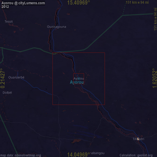
Ayorou night lights from space
Night Light of Ayorou (Tillabéri) from space (Niger) Src. Average luminocity for 10x10km area is 0% and for 50x50km: 0%.
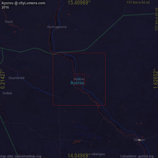
Analysis of Ayorou night lights 2016
Square area 10x10 km:
 0%
0%90-99
0%80-89
0%70-79
0%60-69
0%50-59
0%40-49
0%30-39
0%20-29
0%10-19
0%0-9
100%Square area 50x50 km:
0%90-99
0%80-89
0%70-79
0%60-69
0%50-59
0%40-49
0%30-39
0%20-29
0%10-19
0%0-9
100%Clear (daylight) street map image can be seen on geolist.org.
Map coordinates:
15° 24' 34.9" North, 0° 12' 51.4" East
14° 43' 50.7" North, 0° 55' 2.6" East
14° 2' 58.9" North, 1° 37' 13.9" East
Some cities around Ayorou sort by population:
• Niamey
186.7 km =116 mi,  136°
136°
• Gao, ML
200 km =124.3 mi,  328°
328°
• Dori, BF
128.4 km =79.8 mi,  232°
232°
• Téra
82.3 km =51.1 mi,  192°
192°
• Tillabéri
82 km =51 mi, 135°
• Ménaka, ML
206.8 km =128.5 mi,  50°
50°
• Ouallam
134 km =83.3 mi,  110°
110°
• Gorom-Gorom, BF
128 km =79.5 mi,  255°
255°
2447416 (p: 26,290)
Sources (retrieved 2019-11-25):
» Earth at Night: Flat Maps 2012, 2016