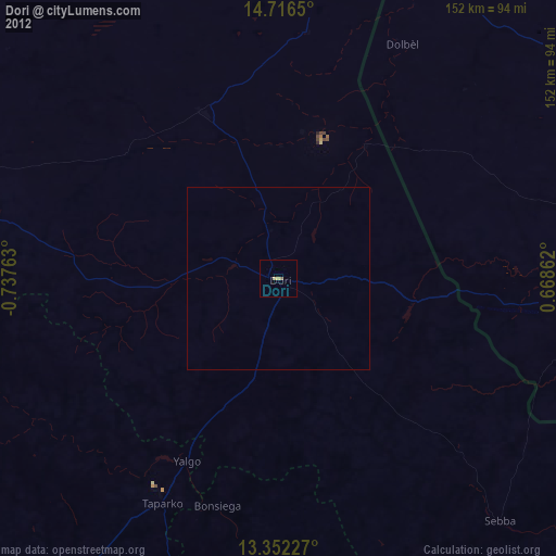
Dori night lights from space
Night Light of Dori (Sahel) from space (Burkina Faso) Src. Average luminocity for 10x10km area is 4.684% and for 50x50km: 0.1822%.
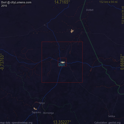
Analysis of Dori night lights 2016
Square area 10x10 km:
 0%
0%90-99
0%80-89
0%70-79
2.6%60-69
0.87%50-59
0.87%40-49
1.73%30-39
0.87%20-29
0%10-19
0%0-9
93.07%Square area 50x50 km:
0%90-99
0%80-89
0%70-79
0.1%60-69
0.03%50-59
0.03%40-49
0.07%30-39
0.03%20-29
0%10-19
0%0-9
99.73%Clear (daylight) street map image can be seen on geolist.org.
Map coordinates:
14° 42' 59.4" North, 0° 44' 15.5" West
14° 2' 7.4" North, 0° 2' 4.2" West
13° 21' 8.2" North, 0° 40' 7" East
Some cities around Dori sort by population:
• Kaya
154.6 km =96.1 mi,  227°
227°
• Ayorou, NE
128.4 km =79.8 mi,  52°
52°
• Djibo
171.7 km =106.7 mi,  272°
272°
• Téra, NE
85 km =52.8 mi,  92°
92°
• Tillabéri, NE
161.7 km =100.5 mi,  83°
83°
• Boulsa
163 km =101.3 mi,  201°
201°
• Bogandé
119.1 km =74 mi,  185°
185°
• Gorom-Gorom
50.2 km =31.2 mi,  334°
334°
2361082 (p: 37,806)
Sources (retrieved 2019-11-25):
» Earth at Night: Flat Maps 2012, 2016