Tillabéri night lights from space
Night Light of Tillabéri from space (Niger) Src. Average luminocity for 10x10km area is 1.8139% and for 50x50km: 0.0699%.
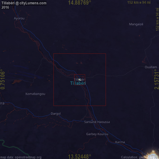
Analysis of Tillabéri night lights 2016
Square area 10x10 km:
 0%
0%90-99
0%80-89
0%70-79
0%60-69
0.87%50-59
0%40-49
0.87%30-39
0.87%20-29
0.87%10-19
0.43%0-9
96.1%Square area 50x50 km:
0%90-99
0%80-89
0%70-79
0%60-69
0.03%50-59
0%40-49
0.03%30-39
0.03%20-29
0.03%10-19
0.02%0-9
99.85%Clear (daylight) street map image can be seen on geolist.org.
Map coordinates:
14° 53' 15.7" North, 0° 45' 3.8" East
14° 12' 25.6" North, 1° 27' 15" East
13° 31' 28.1" North, 2° 9' 26.3" East
Some cities around Tillabéri sort by population:
• Niamey
104.7 km =65.1 mi,  137°
137°
• Dori, BF
161.7 km =100.5 mi,  263°
263°
• Ayorou
82 km =51 mi,  315°
315°
• Téra
78.8 km =49 mi,  253°
253°
• Say
157.8 km =98.1 mi, 141°
• Kollo
138.6 km =86.1 mi, 136°
• Ouallam
69.2 km =43 mi,  79°
79°
• Gorom-Gorom, BF
183.8 km =114.2 mi,  278°
278°
2438678 (p: 19,262)
Sources (retrieved 2019-11-25):
» Earth at Night: Flat Maps 2012, 2016