Ménaka night lights from space
Night Light of Ménaka from space (Mali) Src. Average luminocity for 10x10km area is 0% and for 50x50km: 0%.
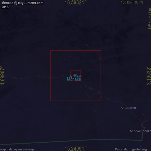
Analysis of Ménaka night lights 2016
Square area 10x10 km:
 0%
0%90-99
0%80-89
0%70-79
0%60-69
0%50-59
0%40-49
0%30-39
0%20-29
0%10-19
0%0-9
100%Square area 50x50 km:
0%90-99
0%80-89
0%70-79
0%60-69
0%50-59
0%40-49
0%30-39
0%20-29
0%10-19
0%0-9
100%Clear (daylight) street map image can be seen on geolist.org.
Map coordinates:
16° 35' 35.6" North, 1° 41' 56.7" East
15° 55' 5.5" North, 2° 24' 7.9" East
15° 14' 27.3" North, 3° 6' 19.2" East
Some cities around Ménaka sort by population:
• Niamey, NE
269.2 km =167.3 mi,  186°
186°
• Gao
264.3 km =164.2 mi,  278°
278°
• Ayorou, NE
206.8 km =128.5 mi,  230°
230°
• Téra, NE
276.6 km =171.9 mi,  219°
219°
• Tillabéri, NE
215.8 km =134.1 mi,  208°
208°
• Filingué, NE
199.9 km =124.2 mi,  150°
150°
• Inékar
79.1 km =49.2 mi,  86°
86°
• Ouallam, NE
181.3 km =112.7 mi, 190°
2453514 (p: 9,110)
Sources (retrieved 2019-11-25):
» Earth at Night: Flat Maps 2012, 2016