Taroudant night lights from space
Night Light of Taroudant (Souss-Massa) from space (Morocco) Src. Average luminocity for 10x10km area is 19.3736% and for 50x50km: 1.1862%.
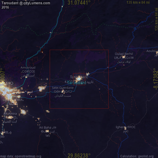

Analysis of Taroudant night lights 2016
Square area 10x10 km:
 1.83%
1.83%90-99
3.3%80-89
0.73%70-79
2.93%60-69
4.4%50-59
1.83%40-49
3.66%30-39
2.2%20-29
2.2%10-19
7.51%0-9
69.41%Square area 50x50 km:
0.08%90-99
0.17%80-89
0.12%70-79
0.18%60-69
0.25%50-59
0.07%40-49
0.24%30-39
0.12%20-29
0.17%10-19
0.42%0-9
98.18%Clear (daylight) street map image can be seen on geolist.org.
Map coordinates:
31° 4' 27.9" North, 9° 34' 48.3" West
30° 28' 13" North, 8° 52' 37" West
29° 51' 44.6" North, 8° 10' 25.8" West
Some cities around Taroudant sort by population:
• Marrakesh
154 km =95.7 mi,  32°
32°
• Agadir
69.4 km =43.1 mi,  265°
265°
• Essaouira
143.8 km =89.4 mi,  323°
323°
• Oulad Teïma
32.9 km =20.4 mi,  255°
255°
• Dakhla
65.4 km =40.6 mi, 264°
• Tiznit
118.9 km =73.9 mi,  223°
223°
• Setti Fatma
142 km =88.2 mi,  53°
53°
• Sidi Ifni
174.1 km =108.2 mi,  225°
225°
2529649 (p: 71,133)
Sources (retrieved 2019-11-25):
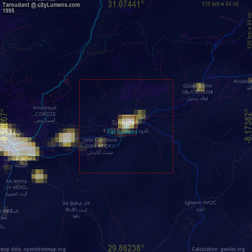
» NASA, Earths city lights 1995
» NASA city lights 2003
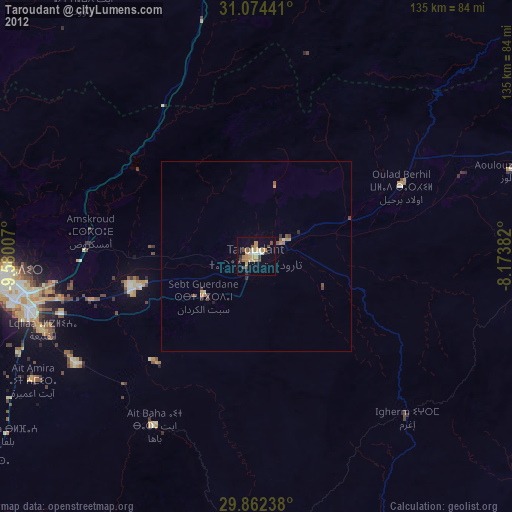
» Earth at Night: Flat Maps 2012, 2016