Dakhla night lights from space
Night Light of Dakhla from space (Morocco) Src. Average luminocity for 10x10km area is 78.5293% and for 50x50km: 12.6583%.
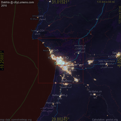

Analysis of Dakhla night lights 2016
Square area 10x10 km:
 28.57%
90-99
23.99%80-89
7.88%70-79
9.34%60-69
7.33%50-59
2.93%40-49
6.04%30-39
4.58%20-29
6.96%10-19
2.38%0-9
0%Square area 50x50 km:
2.03%90-99
1.98%80-89
1.51%70-79
1.66%60-69
1.98%50-59
1.1%40-49
2%30-39
1.65%20-29
3.88%10-19
7.51%0-9
74.71%Clear (daylight) street map image can be seen on geolist.org.
Map coordinates:
31° 0' 54.8" North, 10° 15' 31.9" West
30° 24' 38.6" North, 9° 33' 20.6" West
29° 48' 8.8" North, 8° 51' 9.4" West
Some cities around Dakhla sort by population:
• Agadir
4.2 km =2.6 mi,  284°
284°
• Guelmim
165.6 km =102.9 mi,  197°
197°
• Taroudant
65.4 km =40.6 mi,  84°
84°
• Essaouira
124.2 km =77.2 mi,  350°
350°
• Oulad Teïma
33.3 km =20.7 mi,  93°
93°
• Tiznit
81.1 km =50.4 mi,  192°
192°
• Setti Fatma
200.9 km =124.8 mi,  63°
63°
• Sidi Ifni
129.2 km =80.3 mi,  207°
207°
8542188 (p: 55,618)
Sources (retrieved 2019-11-25):
» NASA, Earths city lights 1995
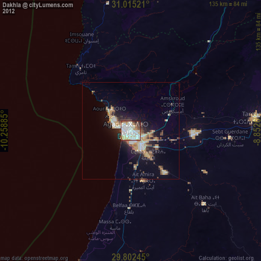
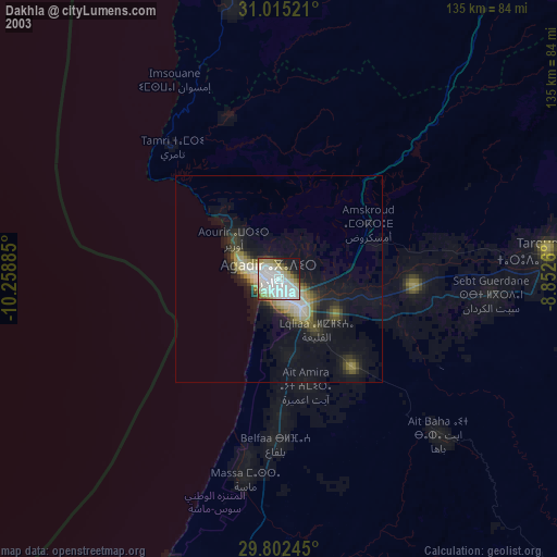
» NASA city lights 2003
» Earth at Night: Flat Maps 2012, 2016