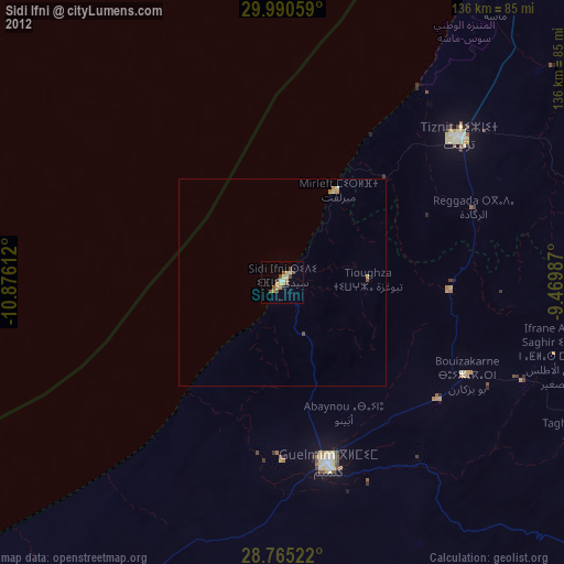
Sidi Ifni night lights from space
Night Light of Sidi Ifni (Souss-Massa) from space (Morocco) Src. Average luminocity for 10x10km area is 13.6402% and for 50x50km: 0.7145%.
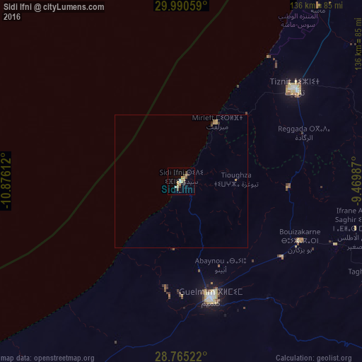
Analysis of Sidi Ifni night lights 2016
Square area 10x10 km:
 1.14%
1.14%90-99
1.14%80-89
4.55%70-79
2.46%60-69
0.57%50-59
0.57%40-49
2.46%30-39
3.03%20-29
0%10-19
0%0-9
84.09%Square area 50x50 km:
0.04%90-99
0.04%80-89
0.21%70-79
0.19%60-69
0.03%50-59
0.04%40-49
0.13%30-39
0.15%20-29
0.03%10-19
0%0-9
99.13%Clear (daylight) street map image can be seen on geolist.org.
Map coordinates:
29° 59' 26.1" North, 10° 52' 34" West
29° 22' 47.1" North, 10° 10' 22.8" West
28° 45' 54.8" North, 9° 28' 11.5" West
Some cities around Sidi Ifni sort by population:
• Agadir
128.3 km =79.7 mi,  25°
25°
• Guelmim
45.1 km =28 mi,  165°
165°
• Taroudant
174.1 km =108.2 mi,  45°
45°
• Oulad Teïma
146.2 km =90.8 mi,  39°
39°
• Tan-Tan
138.4 km =86 mi,  220°
220°
• Dakhla
129.2 km =80.3 mi, 27°
• Tiznit
55.4 km =34.4 mi, 50°
• Zag
173.6 km =107.9 mi,  150°
150°
2534515 (p: 20,000)
Sources (retrieved 2019-11-25):
» Earth at Night: Flat Maps 2012, 2016