Marrakesh night lights from space
Night Light of Marrakesh (Marrakesh-Safi) from space (Morocco) Src. Average luminocity for 10x10km area is 91.5916% and for 50x50km: 14.5188%.
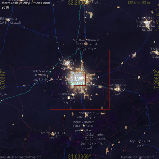
Analysis of Marrakesh night lights 2016
Square area 10x10 km:
 39.74%
90-99
32.97%80-89
7.14%70-79
9.89%60-69
7.69%50-59
1.28%40-49
1.28%30-39
0%20-29
0%10-19
0%0-9
0%Square area 50x50 km:
2.47%90-99
2.23%80-89
1.91%70-79
1.79%60-69
2.79%50-59
1.59%40-49
2.11%30-39
2.22%20-29
3.45%10-19
6.99%0-9
72.47%Clear (daylight) street map image can be seen on geolist.org.
Map coordinates:
32° 13' 51.2" North, 8° 42' 11.1" West
31° 38' 3" North, 7° 59' 59.8" West
31° 2' 0.9" North, 7° 17' 48.6" West
Some cities around Marrakesh sort by population:
• Safi
138.2 km =85.9 mi,  302°
302°
• Settat
156.2 km =97.1 mi,  13°
13°
• Taroudant
154 km =95.7 mi,  212°
212°
• Youssoufia
84.4 km =52.4 mi,  323°
323°
• Ouarzazat
131.8 km =81.9 mi,  127°
127°
• Sidi Bennour
120.2 km =74.7 mi,  340°
340°
• Setti Fatma
54.8 km =34.1 mi,  146°
146°
• Oualidia
156.1 km =97 mi, 321°
2542997 (p: 839,296)
Sources (retrieved 2019-11-25):
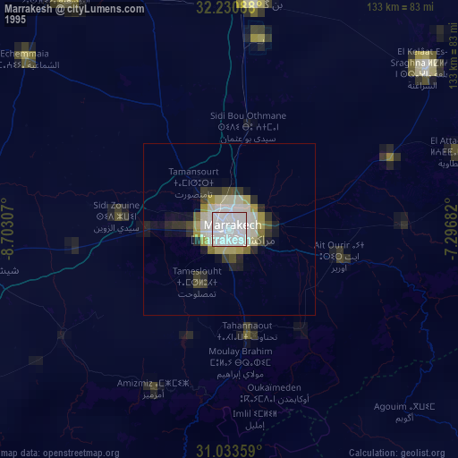
» NASA, Earths city lights 1995
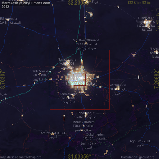
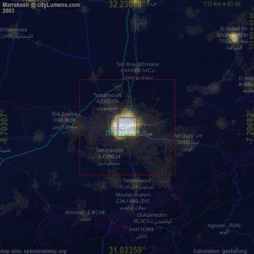
» NASA city lights 2003
» Earth at Night: Flat Maps 2012, 2016