Agadir night lights from space
Night Light of Agadir (Souss-Massa) from space (Morocco) Src. Average luminocity for 10x10km area is 69.9597% and for 50x50km: 12.3525%.
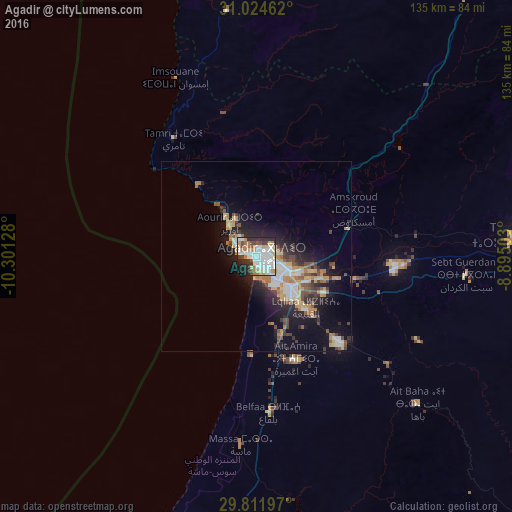
Analysis of Agadir night lights 2016
Square area 10x10 km:
 23.81%
90-99
20.15%80-89
5.13%70-79
7.33%60-69
10.07%50-59
1.28%40-49
7.14%30-39
4.95%20-29
15.38%10-19
4.58%0-9
0.18%Square area 50x50 km:
2.03%90-99
1.98%80-89
1.51%70-79
1.63%60-69
1.96%50-59
1.04%40-49
1.89%30-39
1.54%20-29
3.7%10-19
7.38%0-9
75.34%Clear (daylight) street map image can be seen on geolist.org.
Map coordinates:
31° 1' 28.6" North, 10° 18' 4.6" West
30° 25' 12.6" North, 9° 35' 53.3" West
29° 48' 43.1" North, 8° 53' 42.1" West
Some cities around Agadir sort by population:
• Marrakesh
203.5 km =126.4 mi,  48°
48°
• Guelmim
165.4 km =102.8 mi,  195°
195°
• Taroudant
69.4 km =43.1 mi,  85°
85°
• Essaouira
122.6 km =76.2 mi,  352°
352°
• Oulad Teïma
37.4 km =23.2 mi, 94°
• Dakhla
4.2 km =2.6 mi,  104°
104°
• Tiznit
81.4 km =50.6 mi,  189°
189°
• Sidi Ifni
128.3 km =79.7 mi,  205°
205°
2561668 (p: 698,310)
Sources (retrieved 2019-11-25):
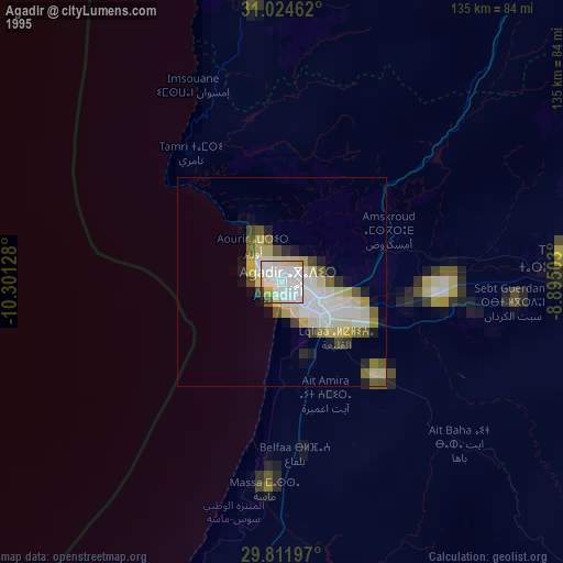
» NASA, Earths city lights 1995
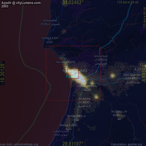
» NASA city lights 2003
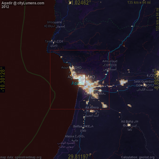
» Earth at Night: Flat Maps 2012, 2016