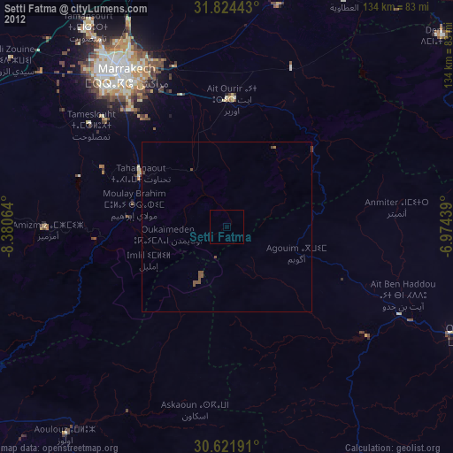
Setti Fatma night lights from space
Night Light of Setti Fatma (Marrakesh-Safi) from space (Morocco) Src. Average luminocity for 10x10km area is 0.0311% and for 50x50km: 0.8099%.
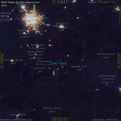
Analysis of Setti Fatma night lights 2016
Square area 10x10 km:
 0%
0%90-99
0%80-89
0%70-79
0%60-69
0%50-59
0%40-49
0%30-39
0%20-29
0%10-19
0%0-9
100%Square area 50x50 km:
0%90-99
0%80-89
0.12%70-79
0.12%60-69
0.19%50-59
0.55%40-49
0.07%30-39
0.05%20-29
0.04%10-19
0.09%0-9
98.78%Clear (daylight) street map image can be seen on geolist.org.
Map coordinates:
31° 49' 27.9" North, 8° 22' 50.3" West
31° 13' 30.3" North, 7° 40' 39" West
30° 37' 18.9" North, 6° 58' 27.8" West
Some cities around Setti Fatma sort by population:
• Marrakesh
54.8 km =34.1 mi,  326°
326°
• Al Fqih Ben Çalah
170 km =105.6 mi,  33°
33°
• Taroudant
142 km =88.2 mi,  233°
233°
• Oulad Teïma
173 km =107.5 mi,  237°
237°
• Youssoufia
139.2 km =86.5 mi,  324°
324°
• Ouarzazat
82.1 km =51 mi,  114°
114°
• Kelaat Mgouna
146.9 km =91.3 mi,  89°
89°
• Ifrane
136.7 km =84.9 mi,  67°
67°
2526239 (p: 22,283)
Sources (retrieved 2019-11-25):
» Earth at Night: Flat Maps 2012, 2016