Essaouira night lights from space
Night Light of Essaouira (Marrakesh-Safi) from space (Morocco) Src. Average luminocity for 10x10km area is 16.4371% and for 50x50km: 1.1982%.
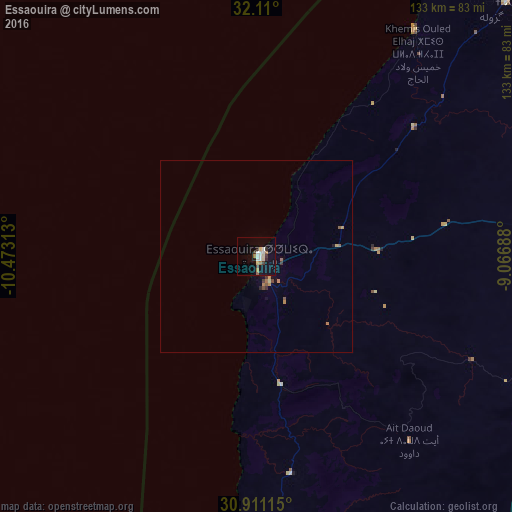
Analysis of Essaouira night lights 2016
Square area 10x10 km:
 2.8%
2.8%90-99
2.97%80-89
2.62%70-79
0%60-69
2.45%50-59
1.05%40-49
0.87%30-39
2.1%20-29
1.92%10-19
12.59%0-9
70.63%Square area 50x50 km:
0.12%90-99
0.12%80-89
0.17%70-79
0.1%60-69
0.29%50-59
0.13%40-49
0.12%30-39
0.18%20-29
0.12%10-19
0.59%0-9
98.05%Clear (daylight) street map image can be seen on geolist.org.
Map coordinates:
32° 6' 36" North, 10° 28' 23.3" West
31° 30' 45" North, 9° 46' 12" West
30° 54' 40.1" North, 9° 4' 0.8" West
Some cities around Essaouira sort by population:
• Marrakesh
168.2 km =104.5 mi,  85°
85°
• Agadir
122.6 km =76.2 mi,  172°
172°
• Safi
100.9 km =62.7 mi,  29°
29°
• Taroudant
143.8 km =89.4 mi,  143°
143°
• Oulad Teïma
135.3 km =84.1 mi,  156°
156°
• Youssoufia
142.8 km =88.7 mi,  55°
55°
• Dakhla
124.2 km =77.2 mi, 170°
• Oualidia
152.6 km =94.8 mi, 27°
2549263 (p: 70,634)
Sources (retrieved 2019-11-25):
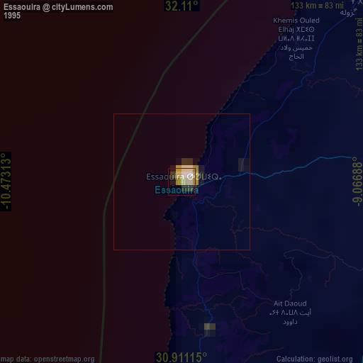
» NASA, Earths city lights 1995
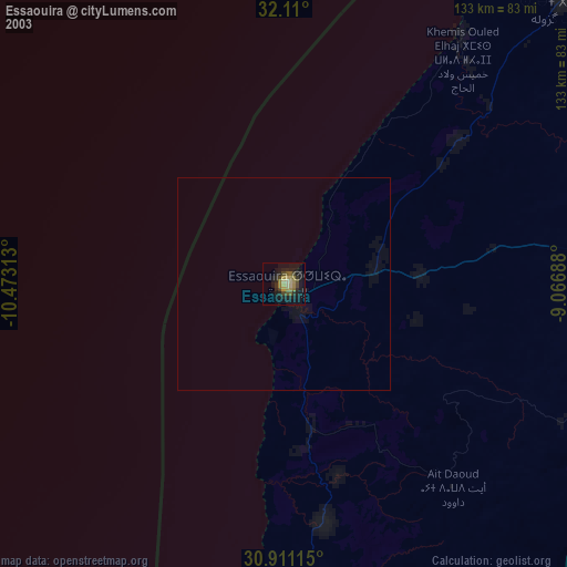
» NASA city lights 2003
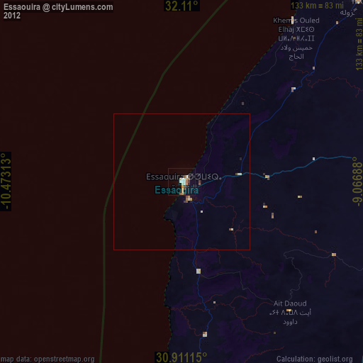
» Earth at Night: Flat Maps 2012, 2016