Skhirate night lights from space
Night Light of Skhirate (Rabat-Salé-Kénitra) from space (Morocco) Src. Average luminocity for 10x10km area is 40.5455% and for 50x50km: 17.5769%.
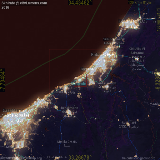
Analysis of Skhirate night lights 2016
Square area 10x10 km:
 1.92%
1.92%90-99
3.32%80-89
8.04%70-79
8.74%60-69
10.66%50-59
7.17%40-49
1.92%30-39
5.59%20-29
13.64%10-19
35.84%0-9
3.15%Square area 50x50 km:
3.38%90-99
2.83%80-89
2.07%70-79
2.04%60-69
2.96%50-59
2.02%40-49
1.84%30-39
2.66%20-29
4.32%10-19
9.96%0-9
65.93%Clear (daylight) street map image can be seen on geolist.org.
Map coordinates:
34° 26' 4.6" North, 7° 44' 5.4" West
33° 51' 9.7" North, 7° 1' 54.2" West
33° 16' 0.4" North, 6° 19' 42.9" West
Some cities around Skhirate sort by population:
• Casablanca
61.1 km =38 mi,  241°
241°
• Rabat
25.6 km =15.9 mi,  45°
45°
• Sale
31 km =19.3 mi,  43°
43°
• Kenitra
61.6 km =38.3 mi, 42°
• Temara
14.3 km =8.9 mi, 53°
• Mohammedia
37.4 km =23.2 mi, 240°
• Tiflet
67.1 km =41.7 mi,  86°
86°
• Bouznika
13.8 km =8.6 mi, 239°
2562055 (p: 44,850)
Sources (retrieved 2019-11-25):
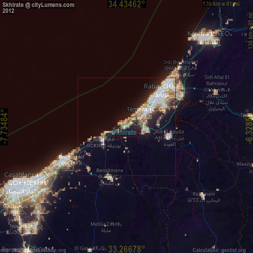
» Earth at Night: Flat Maps 2012, 2016