Rabat night lights from space
Night Light of Rabat (Rabat-Salé-Kénitra) from space (Morocco) Src. Average luminocity for 10x10km area is 78.1399% and for 50x50km: 19.6772%.
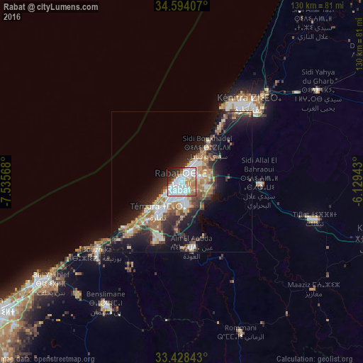
Analysis of Rabat night lights 2016
Square area 10x10 km:
 36.19%
90-99
20.1%80-89
4.37%70-79
7.69%60-69
9.09%50-59
4.02%40-49
0.87%30-39
5.42%20-29
7.69%10-19
4.2%0-9
0.35%Square area 50x50 km:
3.45%90-99
3.12%80-89
2.49%70-79
2.34%60-69
3.83%50-59
2.24%40-49
2.06%30-39
3.06%20-29
5.58%10-19
11.67%0-9
60.16%Clear (daylight) street map image can be seen on geolist.org.
Map coordinates:
34° 35' 38.7" North, 7° 32' 8.4" West
34° 0' 47.7" North, 6° 49' 57.2" West
33° 25' 42.3" North, 6° 7' 45.9" West
Some cities around Rabat sort by population:
• Sale
5.4 km =3.4 mi,  35°
35°
• Kenitra
36 km =22.4 mi, 40°
• Temara
11.6 km =7.2 mi,  215°
215°
• Mohammedia
62.5 km =38.8 mi,  234°
234°
• Tiflet
50.3 km =31.3 mi,  105°
105°
• Skhirate
25.6 km =15.9 mi, 225°
• Sidi Yahia El Gharb
58.5 km =36.4 mi,  56°
56°
• Bouznika
39.1 km =24.3 mi, 230°
2538475 (p: 1,655,753)
Sources (retrieved 2019-11-25):
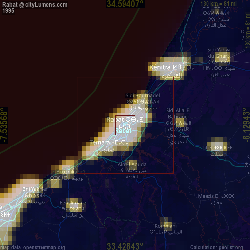
» NASA, Earths city lights 1995
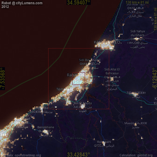
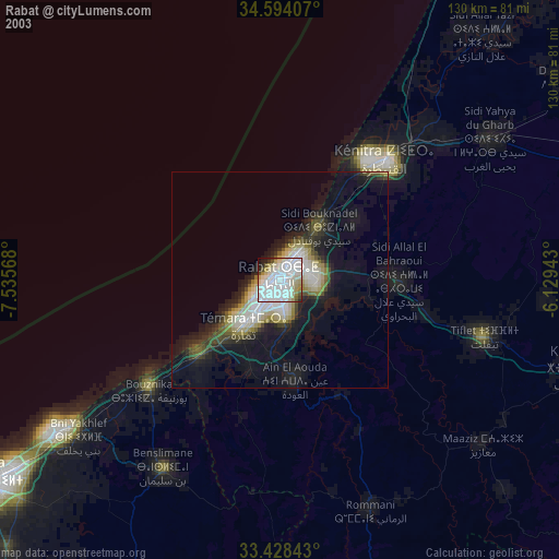
» NASA city lights 2003
» Earth at Night: Flat Maps 2012, 2016