Bouznika night lights from space
Night Light of Bouznika (Casablanca-Settat) from space (Morocco) Src. Average luminocity for 10x10km area is 32.1643% and for 50x50km: 14.4925%.
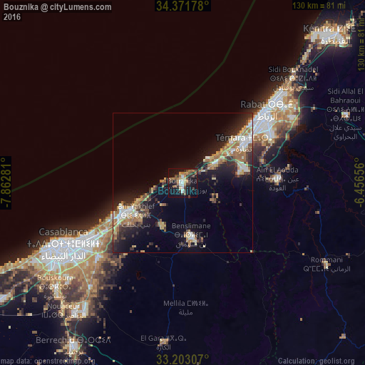
Analysis of Bouznika night lights 2016
Square area 10x10 km:
 3.15%
3.15%90-99
2.45%80-89
4.2%70-79
3.15%60-69
7.87%50-59
6.12%40-49
4.72%30-39
7.52%20-29
5.59%10-19
38.99%0-9
16.26%Square area 50x50 km:
1.7%90-99
1.84%80-89
1.98%70-79
1.97%60-69
2.9%50-59
1.73%40-49
1.67%30-39
2.41%20-29
4.23%10-19
10.06%0-9
69.52%Clear (daylight) street map image can be seen on geolist.org.
Map coordinates:
34° 22' 18.4" North, 7° 51' 46.1" West
33° 47' 21.9" North, 7° 9' 34.8" West
33° 12' 11.1" North, 6° 27' 23.6" West
Some cities around Bouznika sort by population:
• Casablanca
47.4 km =29.5 mi,  241°
241°
• Rabat
39.1 km =24.3 mi,  50°
50°
• Sale
44.4 km =27.6 mi, 48°
• Temara
28 km =17.4 mi,  56°
56°
• Mohammedia
23.6 km =14.7 mi, 240°
• Berrechid
70.5 km =43.8 mi,  214°
214°
• Skhirate
13.8 km =8.6 mi, 59°
• Zawyat an Nwaçer
62.3 km =38.7 mi,  223°
223°
2553751 (p: 27,283)
Sources (retrieved 2019-11-25):
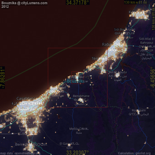
» Earth at Night: Flat Maps 2012, 2016