Casablanca night lights from space
Night Light of Casablanca (Casablanca-Settat) from space (Morocco) Src. Average luminocity for 10x10km area is 88.13% and for 50x50km: 30.3546%.
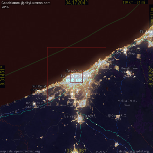
Analysis of Casablanca night lights 2016
Square area 10x10 km:
 67.77%
90-99
8.79%80-89
3.66%70-79
2.93%60-69
1.1%50-59
2.56%40-49
2.75%30-39
5.49%20-29
4.95%10-19
0%0-9
0%Square area 50x50 km:
6.89%90-99
3.87%80-89
3.31%70-79
5.21%60-69
6.18%50-59
2.91%40-49
4.35%30-39
5%20-29
7.79%10-19
9.63%0-9
44.84%Clear (daylight) street map image can be seen on geolist.org.
Map coordinates:
34° 10' 19.3" North, 8° 18' 52.2" West
33° 35' 17.9" North, 7° 36' 41" West
33° 0' 2.2" North, 6° 54' 29.7" West
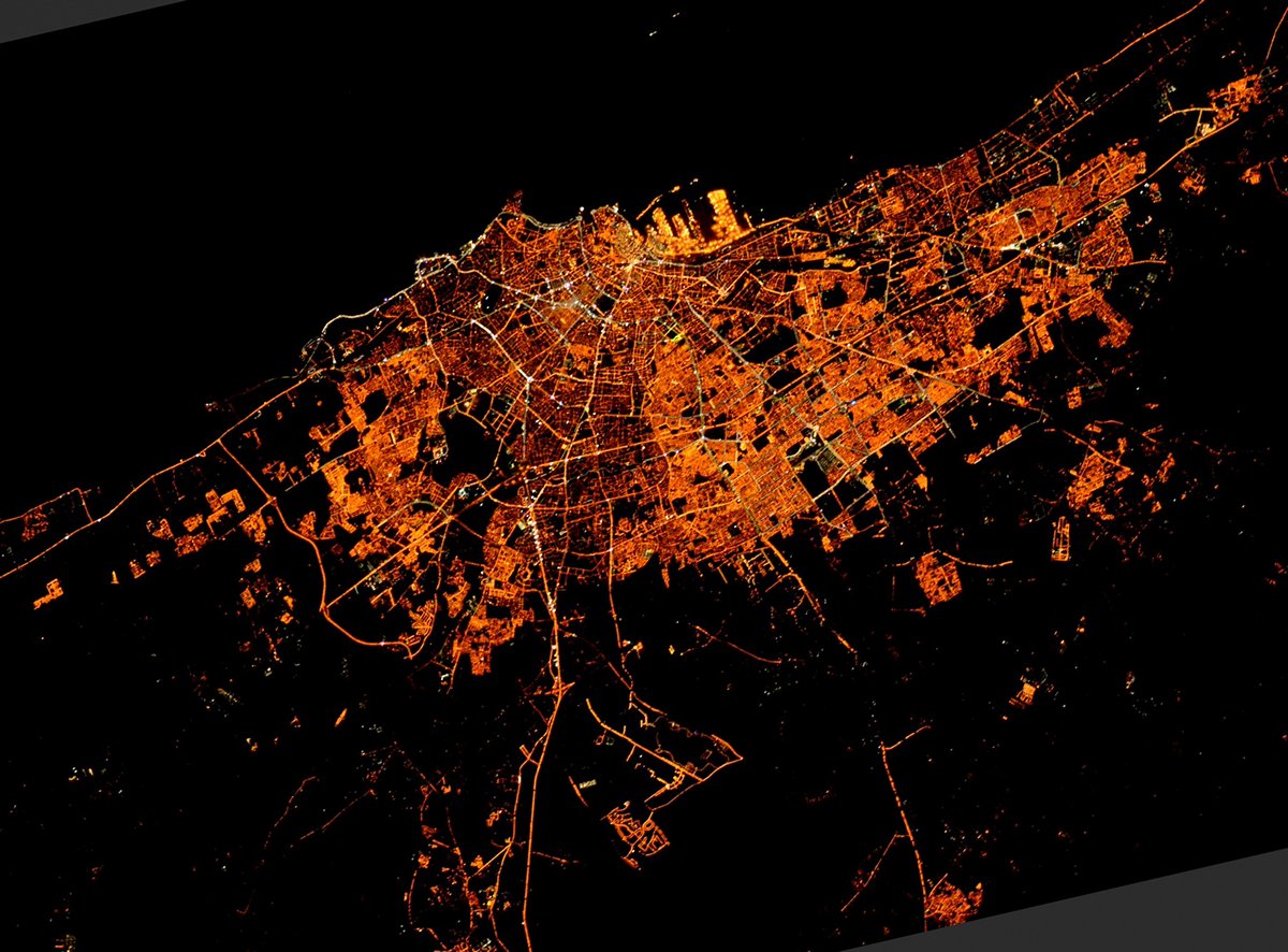
Fantastic image of Casablanca from space taken by astronauts [src2], but I don't have information about it's orientation, scale or angle. If necessary, it was rotated manually, so North points approximately to upper direction. Click to zoom in:
Some cities around Casablanca sort by population:
• Temara
75.3 km =46.8 mi,  59°
59°
• Mohammedia
23.8 km =14.8 mi, 62°
• Settat
65.3 km =40.6 mi,  180°
180°
• Berrechid
36 km =22.4 mi, 176°
• Skhirate
61.1 km =38 mi, 61°
• Azemmour
75.5 km =46.9 mi,  243°
243°
• Bouznika
47.4 km =29.5 mi, 61°
• Zawyat an Nwaçer
23.2 km =14.4 mi, 181°
2553604 (p: 3,144,909)
Sources (retrieved 2019-11-25):
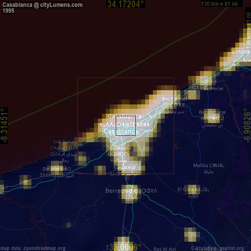
» NASA, Earths city lights 1995
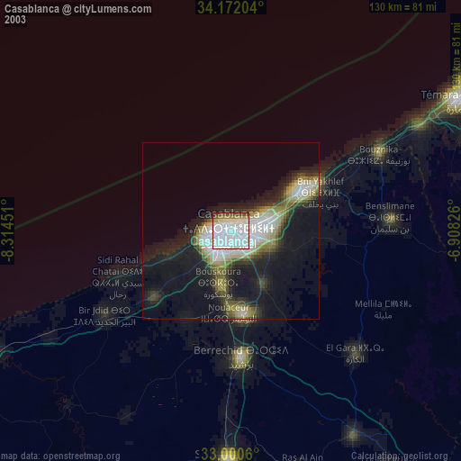
» NASA city lights 2003
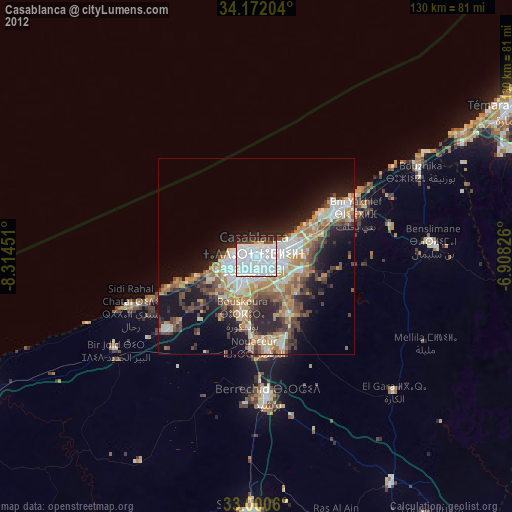
» Earth at Night: Flat Maps 2012, 2016
Src.2: Tim Kopra, Twitter/@astro_tim, 2016-05-23