Kenitra night lights from space
Night Light of Kenitra (Rabat-Salé-Kénitra) from space (Morocco) Src. Average luminocity for 10x10km area is 69.6886% and for 50x50km: 9.1629%.
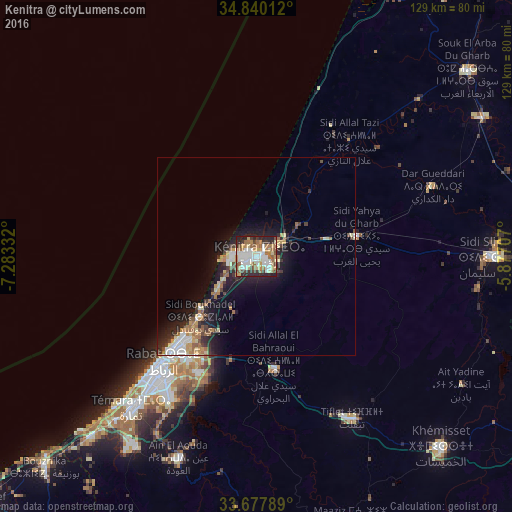
Analysis of Kenitra night lights 2016
Square area 10x10 km:
 19.6%
19.6%90-99
14.47%80-89
10.07%70-79
9.52%60-69
14.29%50-59
5.49%40-49
5.68%30-39
7.33%20-29
13%10-19
0.55%0-9
0%Square area 50x50 km:
1.42%90-99
1.3%80-89
1.3%70-79
1.06%60-69
1.7%50-59
0.79%40-49
0.96%30-39
1.37%20-29
2.86%10-19
6.53%0-9
80.72%Clear (daylight) street map image can be seen on geolist.org.
Map coordinates:
34° 50' 24.4" North, 7° 16' 60" West
34° 15' 39.6" North, 6° 34' 48.7" West
33° 40' 40.4" North, 5° 52' 37.5" West
Some cities around Kenitra sort by population:
• Rabat
36 km =22.4 mi,  220°
220°
• Sale
30.6 km =19 mi, 220°
• Temara
47.6 km =29.6 mi, 219°
• Sidi Slimane
60.1 km =37.3 mi,  89°
89°
• Tiflet
47.9 km =29.8 mi,  148°
148°
• Skhirate
61.6 km =38.3 mi, 222°
• Sidi Yahia El Gharb
25.8 km =16 mi,  79°
79°
• Mechraa Bel Ksiri
67 km =41.6 mi,  58°
58°
2544571 (p: 366,570)
Sources (retrieved 2019-11-25):
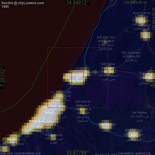
» NASA, Earths city lights 1995
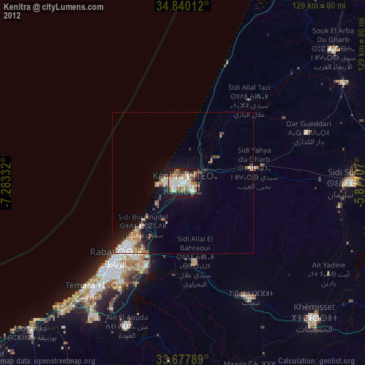
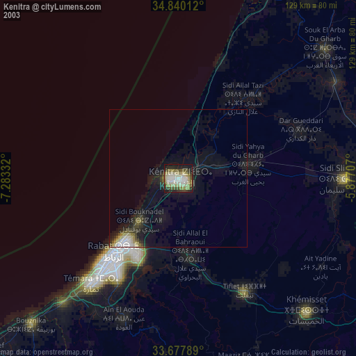
» NASA city lights 2003
» Earth at Night: Flat Maps 2012, 2016