Tiflet night lights from space
Night Light of Tiflet (Rabat-Salé-Kénitra) from space (Morocco) Src. Average luminocity for 10x10km area is 14.4598% and for 50x50km: 2.0774%.
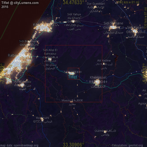
Analysis of Tiflet night lights 2016
Square area 10x10 km:
 1.92%
1.92%90-99
2.8%80-89
2.97%70-79
2.1%60-69
0.7%50-59
0.7%40-49
0.87%30-39
1.75%20-29
2.27%10-19
2.45%0-9
81.47%Square area 50x50 km:
0.28%90-99
0.28%80-89
0.32%70-79
0.29%60-69
0.24%50-59
0.11%40-49
0.26%30-39
0.27%20-29
0.33%10-19
1.01%0-9
96.61%Clear (daylight) street map image can be seen on geolist.org.
Map coordinates:
34° 28' 34.8" North, 7° 0' 34.6" West
33° 53' 40.9" North, 6° 18' 23.4" West
33° 18' 32.6" North, 5° 36' 12.1" West
Some cities around Tiflet sort by population:
• Rabat
50.3 km =31.3 mi,  285°
285°
• Sale
48.7 km =30.3 mi, 291°
• Kenitra
47.9 km =29.8 mi,  328°
328°
• Temara
55.5 km =34.5 mi,  273°
273°
• Khemisset
23.5 km =14.6 mi,  109°
109°
• Sidi Slimane
54 km =33.6 mi,  40°
40°
• Sidi Yahia El Gharb
45.6 km =28.3 mi,  0°
0°
• Oulmes
59.3 km =36.8 mi,  151°
151°
2528659 (p: 70,010)
Sources (retrieved 2019-11-25):
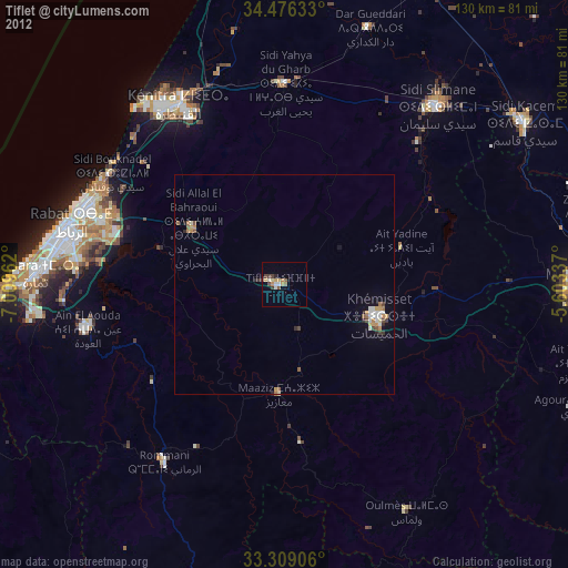
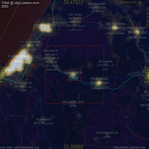
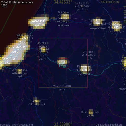
» NASA, Earths city lights 1995
» NASA city lights 2003
» Earth at Night: Flat Maps 2012, 2016