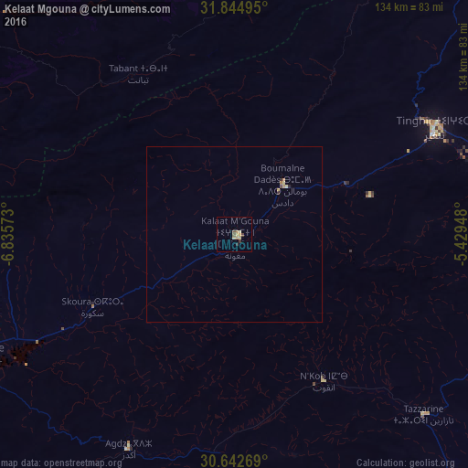
Kelaat Mgouna night lights from space
Night Light of Kelaat Mgouna (Drâa-Tafilalet) from space (Morocco) Src. Average luminocity for 10x10km area is 6.6154% and for 50x50km: 0.4669%.
Analysis of Kelaat Mgouna night lights 2016
Square area 10x10 km:
 0%
0%90-99
0.18%80-89
3.3%70-79
0.37%60-69
1.28%50-59
1.1%40-49
0.55%30-39
1.47%20-29
0.55%10-19
0%0-9
91.21%Square area 50x50 km:
0%90-99
0.01%80-89
0.2%70-79
0.07%60-69
0.11%50-59
0.04%40-49
0.05%30-39
0.09%20-29
0.07%10-19
0%0-9
99.36%Clear (daylight) street map image can be seen on geolist.org.
Map coordinates:
31° 50' 41.8" North, 6° 50' 8.6" West
31° 14' 44.6" North, 6° 7' 57.4" West
30° 38' 33.7" North, 5° 25' 46.1" West
Some cities around Kelaat Mgouna sort by population:
• Beni Mellal
123.1 km =76.5 mi,  350°
350°
• Al Fqih Ben Çalah
149.2 km =92.7 mi,  339°
339°
• Ouarzazat
81 km =50.3 mi,  243°
243°
• Kasba Tadla
150.9 km =93.8 mi,  355°
355°
• Tinghir
64.3 km =40 mi,  62°
62°
• Zagora
105.4 km =65.5 mi,  164°
164°
• Setti Fatma
146.9 km =91.3 mi,  269°
269°
• Ifrane
54.8 km =34.1 mi, 337°
2549981 (p: 14,190)
Sources (retrieved 2019-11-25):
» Earth at Night: Flat Maps 2012, 2016