Tinghir night lights from space
Night Light of Tinghir (Drâa-Tafilalet) from space (Morocco) Src. Average luminocity for 10x10km area is 21.6801% and for 50x50km: 1.4508%.
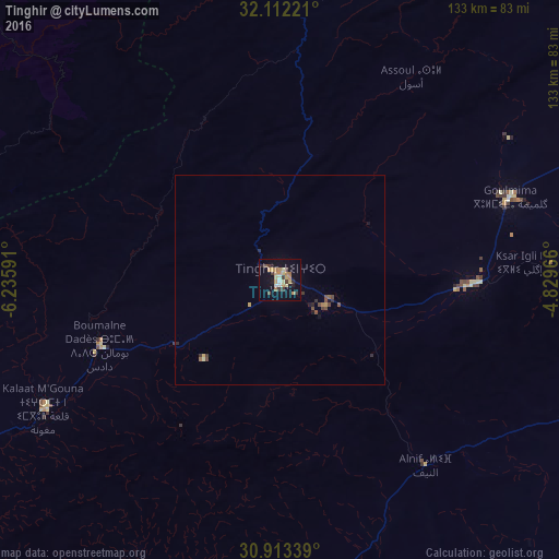
Analysis of Tinghir night lights 2016
Square area 10x10 km:
 0.7%
0.7%90-99
1.75%80-89
4.9%70-79
5.42%60-69
3.5%50-59
1.05%40-49
1.57%30-39
5.24%20-29
4.02%10-19
14.34%0-9
57.52%Square area 50x50 km:
0.03%90-99
0.07%80-89
0.26%70-79
0.29%60-69
0.19%50-59
0.18%40-49
0.3%30-39
0.32%20-29
0.35%10-19
0.74%0-9
97.27%Clear (daylight) street map image can be seen on geolist.org.
Map coordinates:
32° 6' 44" North, 6° 14' 9.3" West
31° 30' 53" North, 5° 31' 58" West
30° 54' 48.2" North, 4° 49' 46.8" West
Some cities around Tinghir sort by population:
• Beni Mellal
119.6 km =74.3 mi,  319°
319°
• Errachidia
114.4 km =71.1 mi,  66°
66°
• Kasba Tadla
138.9 km =86.3 mi,  330°
330°
• Zagora
134.7 km =83.7 mi,  192°
192°
• Arfoud
123.6 km =76.8 mi,  94°
94°
• Reçani
123 km =76.4 mi,  102°
102°
• Kelaat Mgouna
64.3 km =40 mi,  242°
242°
• Ifrane
80.1 km =49.8 mi,  285°
285°
2527915 (p: 36,795)
Sources (retrieved 2019-11-25):
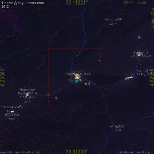
» Earth at Night: Flat Maps 2012, 2016