Zagora night lights from space
Night Light of Zagora (Drâa-Tafilalet) from space (Morocco) Src. Average luminocity for 10x10km area is 14.4322% and for 50x50km: 0.7385%.

Analysis of Zagora night lights 2016
Square area 10x10 km:
 0%
0%90-99
0%80-89
4.95%70-79
6.04%60-69
0.73%50-59
0%40-49
3.11%30-39
2.2%20-29
0.55%10-19
0.37%0-9
82.05%Square area 50x50 km:
0%90-99
0%80-89
0.22%70-79
0.31%60-69
0.03%50-59
0%40-49
0.14%30-39
0.13%20-29
0.08%10-19
0.01%0-9
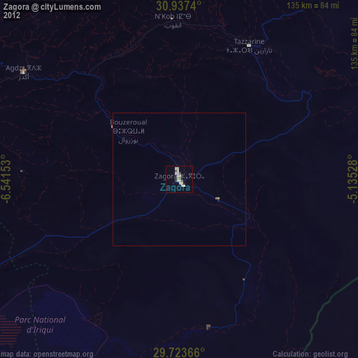
99.07%Clear (daylight) street map image can be seen on geolist.org.
Map coordinates:
30° 56' 14.6" North, 6° 32' 29.5" West
30° 19' 56.7" North, 5° 50' 18.2" West
29° 43' 25.2" North, 5° 8' 7" West
Some cities around Zagora sort by population:
• Ouarzazat
120.2 km =74.7 mi,  302°
302°
• Tinghir
134.7 km =83.7 mi,  12°
12°
• Arfoud
196.3 km =122 mi,  51°
51°
• Setti Fatma
201.8 km =125.4 mi, 299°
• Reçani
183.7 km =114.1 mi, 54°
• Kelaat Mgouna
105.4 km =65.5 mi,  344°
344°
• Ifrane
159.9 km =99.4 mi, 342°
• Mhamid
58.1 km =36.1 mi,  168°
168°
2526452 (p: 35,154)
Sources (retrieved 2019-11-25):
» Earth at Night: Flat Maps 2012, 2016