Ifrane night lights from space
Night Light of Ifrane (Béni Mellal-Khénifra) from space (Morocco) Src. Average luminocity for 10x10km area is 0% and for 50x50km: 0.0464%.
Analysis of Ifrane night lights 2016
Square area 10x10 km:
 0%
0%90-99
0%80-89
0%70-79
0%60-69
0%50-59
0%40-49
0%30-39
0%20-29
0%10-19
0%0-9
100%Square area 50x50 km:
0%90-99
0%80-89
0%70-79
0%60-69
0%50-59
0%40-49
0%30-39
0.03%20-29
0%10-19
0.03%0-9
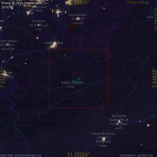
99.94%Clear (daylight) street map image can be seen on geolist.org.
Map coordinates:
32° 17' 54.4" North, 7° 3' 9.1" West
31° 42' 7.8" North, 6° 20' 57.8" West
31° 6' 7.3" North, 5° 38' 46.6" West
Some cities around Ifrane sort by population:
• Beni Mellal
70.6 km =43.9 mi,  359°
359°
• Oued Zem
130.7 km =81.2 mi,  350°
350°
• Al Fqih Ben Çalah
94.5 km =58.7 mi,  340°
340°
• Ouarzazat
101.3 km =62.9 mi,  210°
210°
• Kasba Tadla
99.9 km =62.1 mi,  4°
4°
• Tinghir
80.1 km =49.8 mi,  105°
105°
• Setti Fatma
136.7 km =84.9 mi,  247°
247°
• Kelaat Mgouna
54.8 km =34.1 mi,  157°
157°
2543394 (p: 13,000)
Sources (retrieved 2019-11-25):
» Earth at Night: Flat Maps 2012, 2016