Meknès night lights from space
Night Light of Meknès (Fès-Meknès) from space (Morocco) Src. Average luminocity for 10x10km area is 73.9161% and for 50x50km: 7.3397%.
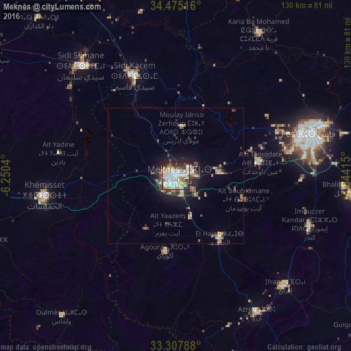

Analysis of Meknès night lights 2016
Square area 10x10 km:
 21.5%
21.5%90-99
22.9%80-89
9.97%70-79
8.22%60-69
8.04%50-59
2.45%40-49
6.64%30-39
10.31%20-29
9.09%10-19
0.87%0-9
0%Square area 50x50 km:
1%90-99
1.32%80-89
0.95%70-79
0.71%60-69
0.98%50-59
0.6%40-49
1.31%30-39
1.32%20-29
1.75%10-19
4.09%0-9
85.96%Clear (daylight) street map image can be seen on geolist.org.
Map coordinates:
34° 28' 30.6" North, 6° 15' 1.4" West
33° 53' 36.7" North, 5° 32' 50.2" West
33° 18' 28.4" North, 4° 50' 38.9" West
Some cities around Meknès sort by population:
• Fès
52.8 km =32.8 mi,  72°
72°
• Fès al Bali
58.1 km =36.1 mi, 70°
• Khemisset
48.5 km =30.1 mi,  260°
260°
• Sidi Slimane
54 km =33.6 mi,  319°
319°
• Sidi Qacem
39.3 km =24.4 mi,  337°
337°
• Ifrane
57.4 km =35.7 mi,  135°
135°
• Azrou
59.3 km =36.8 mi,  149°
149°
• El Hajeb
28.1 km =17.5 mi, 144°
2542715 (p: 545,705)
Sources (retrieved 2019-11-25):
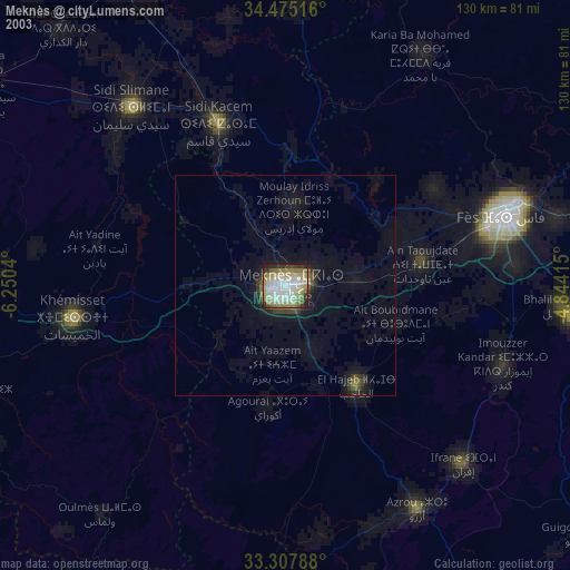
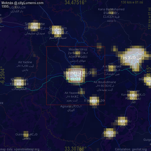
» NASA, Earths city lights 1995
» NASA city lights 2003
» Earth at Night: Flat Maps 2012, 2016