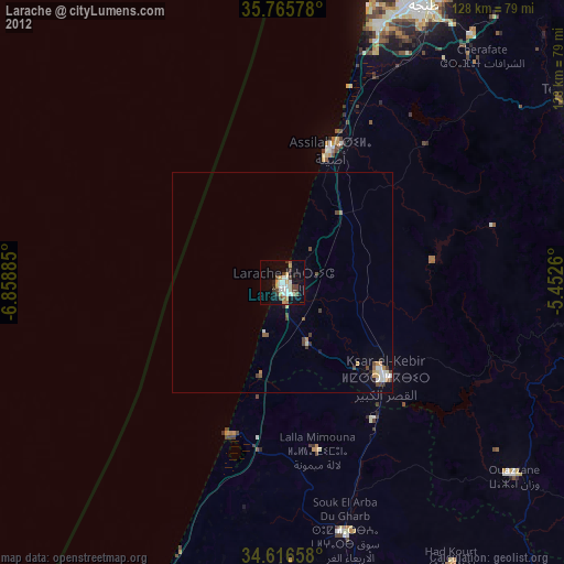
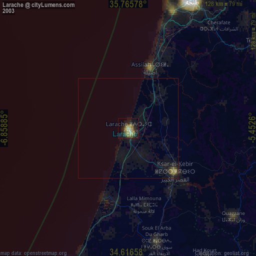
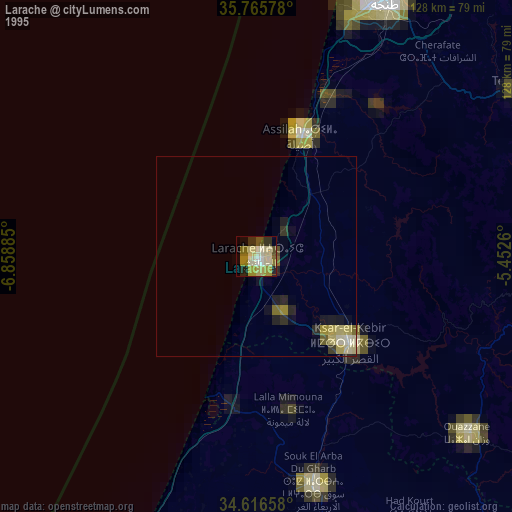
Larache night lights from space
Night Light of Larache (Tanger-Tetouan-Al Hoceima) from space (Morocco) Src. Average luminocity for 10x10km area is 30.021% and for 50x50km: 2.8262%.

Analysis of Larache night lights 2016
Square area 10x10 km:
 4.9%
4.9%90-99
5.07%80-89
4.55%70-79
3.32%60-69
4.02%50-59
2.1%40-49
3.85%30-39
5.24%20-29
4.2%10-19
28.85%0-9
33.92%Square area 50x50 km:
0.32%90-99
0.4%80-89
0.47%70-79
0.39%60-69
0.3%50-59
0.15%40-49
0.4%30-39
0.43%20-29
0.41%10-19
2.55%0-9
94.18%Clear (daylight) street map image can be seen on geolist.org.
Map coordinates:
35° 45' 56.8" North, 6° 51' 31.9" West
35° 11' 35.6" North, 6° 9' 20.6" West
34° 36' 59.7" North, 5° 27' 9.4" West
Some cities around Larache sort by population:
• Tangier
71.5 km =44.4 mi,  26°
26°
• Tétouan
83.2 km =51.7 mi,  59°
59°
• Ksar El Kebir
31.4 km =19.5 mi,  133°
133°
• Ouezzane
68.7 km =42.7 mi, 130°
• Souq Larb’a al Gharb
58 km =36 mi,  166°
166°
• Chefchaouene
81.1 km =50.4 mi,  91°
91°
• Asilah
32.2 km =20 mi,  20°
20°
• Mechraa Bel Ksiri
71.3 km =44.3 mi, 165°
2543549 (p: 109,294)
Sources (retrieved 2019-11-25):
» NASA, Earths city lights 1995
» NASA city lights 2003
» Earth at Night: Flat Maps 2012, 2016