Chefchaouene night lights from space
Night Light of Chefchaouene (Tanger-Tetouan-Al Hoceima) from space (Morocco) Src. Average luminocity for 10x10km area is 10.6766% and for 50x50km: 0.7128%.
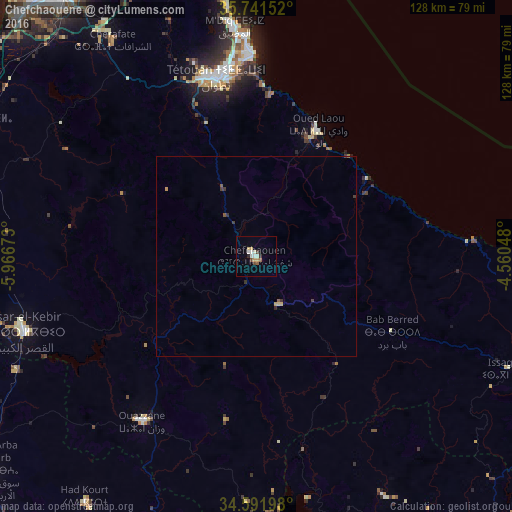
Analysis of Chefchaouene night lights 2016
Square area 10x10 km:
 1.22%
1.22%90-99
2.97%80-89
0.7%70-79
2.1%60-69
0.7%50-59
0.7%40-49
1.92%30-39
0.87%20-29
0.7%10-19
0%0-9
88.11%Square area 50x50 km:
0.05%90-99
0.12%80-89
0.08%70-79
0.15%60-69
0.04%50-59
0.11%40-49
0.09%30-39
0.24%20-29
0.08%10-19
0.01%0-9
99.03%Clear (daylight) street map image can be seen on geolist.org.
Map coordinates:
35° 44' 29.5" North, 5° 58' 0.2" West
35° 10' 7.6" North, 5° 15' 49" West
34° 35' 31.1" North, 4° 33' 37.7" West
Some cities around Chefchaouene sort by population:
• Tétouan
46.5 km =28.9 mi,  348°
348°
• Ksar El Kebir
61.2 km =38 mi,  252°
252°
• Ceuta, ES
80.3 km =49.9 mi,  356°
356°
• Ouezzane
50.4 km =31.3 mi,  214°
214°
• Fnidek
76.1 km =47.3 mi, 353°
• Martil
49.8 km =30.9 mi, 358°
• Asilah
77.3 km =48 mi,  295°
295°
• Cap Negro II
54.6 km =33.9 mi, 357°
2553455 (p: 36,280)
Sources (retrieved 2019-11-25):
» Earth at Night: Flat Maps 2012, 2016