Asilah night lights from space
Night Light of Asilah (Tanger-Tetouan-Al Hoceima) from space (Morocco) Src. Average luminocity for 10x10km area is 17.6062% and for 50x50km: 2.378%.
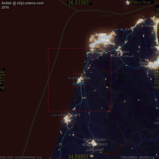
Analysis of Asilah night lights 2016
Square area 10x10 km:
 2.56%
2.56%90-99
1.83%80-89
1.65%70-79
1.83%60-69
5.13%50-59
1.65%40-49
2.2%30-39
3.66%20-29
0%10-19
5.31%0-9
74.18%Square area 50x50 km:
0.11%90-99
0.13%80-89
0.25%70-79
0.23%60-69
0.45%50-59
0.41%40-49
0.4%30-39
0.75%20-29
0.74%10-19
1.72%0-9
94.8%Clear (daylight) street map image can be seen on geolist.org.
Map coordinates:
36° 2' 9.1" North, 6° 44' 14.2" West
35° 27' 54.8" North, 6° 2' 2.9" West
34° 53' 25.8" North, 5° 19' 51.7" West
Some cities around Asilah sort by population:
• Tangier
39.7 km =24.7 mi,  32°
32°
• Tétouan
61.6 km =38.3 mi,  78°
78°
• Larache
32.2 km =20 mi,  200°
200°
• Ksar El Kebir
53 km =32.9 mi,  167°
167°
• Fnidek
74.6 km =46.4 mi,  55°
55°
• Martil
70.7 km =43.9 mi, 76°
• Tarifa, ES
72.2 km =44.9 mi, 32°
• Cap Negro II
71.1 km =44.2 mi,  72°
72°
2557055 (p: 28,861)
Sources (retrieved 2019-11-25):
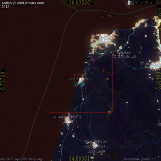
» Earth at Night: Flat Maps 2012, 2016