Ksar El Kebir night lights from space
Night Light of Ksar El Kebir (Tanger-Tetouan-Al Hoceima) from space (Morocco) Src. Average luminocity for 10x10km area is 21.7955% and for 50x50km: 2.8236%.
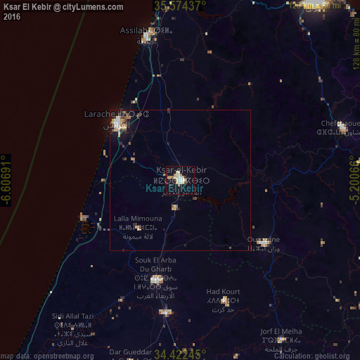
Analysis of Ksar El Kebir night lights 2016
Square area 10x10 km:
 2.97%
2.97%90-99
4.72%80-89
5.77%70-79
1.92%60-69
1.4%50-59
0%40-49
1.05%30-39
1.05%20-29
1.4%10-19
22.03%0-9
57.69%Square area 50x50 km:
0.32%90-99
0.39%80-89
0.51%70-79
0.32%60-69
0.32%50-59
0.18%40-49
0.43%30-39
0.38%20-29
0.48%10-19
2.47%0-9
94.2%Clear (daylight) street map image can be seen on geolist.org.
Map coordinates:
35° 34' 27.7" North, 6° 36' 24.9" West
35° 0' 1.6" North, 5° 54' 13.6" West
34° 25' 20.8" North, 5° 12' 2.4" West
Some cities around Ksar El Kebir sort by population:
• Tétouan
80.6 km =50.1 mi,  37°
37°
• Larache
31.4 km =19.5 mi,  313°
313°
• Sidi Slimane
81.8 km =50.8 mi,  181°
181°
• Ouezzane
37.4 km =23.2 mi,  127°
127°
• Souq Larb’a al Gharb
36 km =22.4 mi,  194°
194°
• Chefchaouene
61.2 km =38 mi,  72°
72°
• Asilah
53 km =32.9 mi,  347°
347°
• Mechraa Bel Ksiri
47.7 km =29.6 mi, 185°
2544001 (p: 108,753)
Sources (retrieved 2019-11-25):
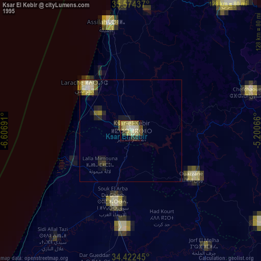
» NASA, Earths city lights 1995
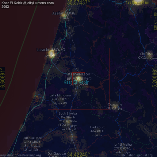
» NASA city lights 2003
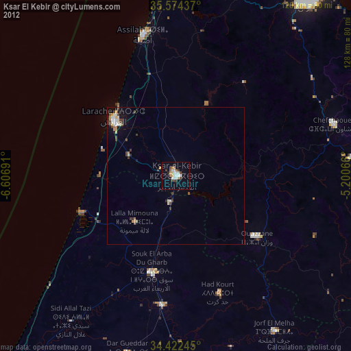
» Earth at Night: Flat Maps 2012, 2016