Tangier night lights from space
Night Light of Tangier (Tanger-Tetouan-Al Hoceima) from space (Morocco) Src. Average luminocity for 10x10km area is 78.8934% and for 50x50km: 10.4422%.
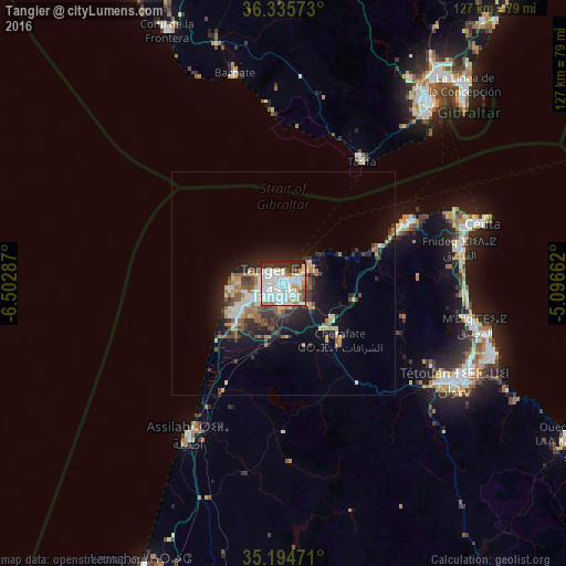
Analysis of Tangier night lights 2016
Square area 10x10 km:
 37.76%
90-99
23.25%80-89
3.5%70-79
4.37%60-69
6.64%50-59
2.45%40-49
3.32%30-39
5.94%20-29
12.41%10-19
0.35%0-9
0%Square area 50x50 km:
2.14%90-99
1.58%80-89
1.03%70-79
0.97%60-69
1.76%50-59
1.13%40-49
1.17%30-39
2.02%20-29
2.81%10-19
6.09%0-9
79.3%Clear (daylight) street map image can be seen on geolist.org.
Map coordinates:
36° 20' 8.6" North, 6° 30' 10.3" West
35° 46' 2.2" North, 5° 47' 59.1" West
35° 11' 41" North, 5° 5' 47.8" West
Some cities around Tangier sort by population:
• Tétouan
44.3 km =27.5 mi,  118°
118°
• Ceuta, ES
45.3 km =28.1 mi,  72°
72°
• Fnidek
40.9 km =25.4 mi,  77°
77°
• Martil
50.2 km =31.2 mi,  109°
109°
• Asilah
39.7 km =24.7 mi,  212°
212°
• Barbate, ES
48.5 km =30.1 mi,  346°
346°
• Tarifa, ES
32.5 km =20.2 mi,  32°
32°
• Cap Negro II
48 km =29.8 mi,  104°
104°
2530335 (p: 688,356)
Sources (retrieved 2019-11-25):
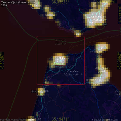
» NASA, Earths city lights 1995
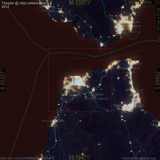
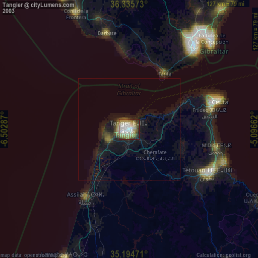
» NASA city lights 2003
» Earth at Night: Flat Maps 2012, 2016