Tétouan night lights from space
Night Light of Tétouan (Tanger-Tetouan-Al Hoceima) from space (Morocco) Src. Average luminocity for 10x10km area is 62.4965% and for 50x50km: 8.1319%.
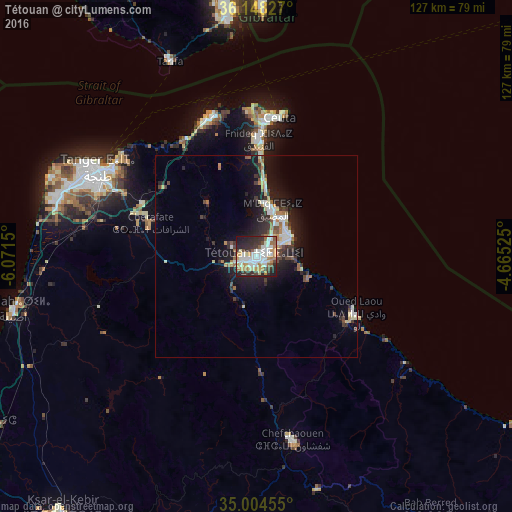
Analysis of Tétouan night lights 2016
Square area 10x10 km:
 15.38%
90-99
17.13%80-89
6.82%70-79
9.27%60-69
7.69%50-59
4.2%40-49
4.2%30-39
9.79%20-29
17.48%10-19
8.04%0-9
0%Square area 50x50 km:
1.33%90-99
1.41%80-89
0.91%70-79
0.74%60-69
1.12%50-59
0.57%40-49
1.01%30-39
1.49%20-29
2.61%10-19
6.38%0-9
82.45%Clear (daylight) street map image can be seen on geolist.org.
Map coordinates:
36° 8' 53.8" North, 6° 4' 17.4" West
35° 34' 42.4" North, 5° 22' 6.1" West
35° 0' 16.4" North, 4° 39' 54.9" West
Some cities around Tétouan sort by population:
• Tangier
44.3 km =27.5 mi,  298°
298°
• Ceuta, ES
34.8 km =21.6 mi,  7°
7°
• Fnidek
30.1 km =18.7 mi,  1°
1°
• Martil
9.4 km =5.8 mi,  63°
63°
• Chefchaouene
46.5 km =28.9 mi,  168°
168°
• Asilah
61.6 km =38.3 mi,  258°
258°
• Tarifa, ES
53 km =32.9 mi,  336°
336°
• Cap Negro II
11.7 km =7.3 mi,  39°
39°
2528910 (p: 326,261)
Sources (retrieved 2019-11-25):
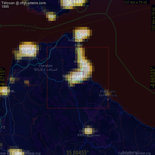
» NASA, Earths city lights 1995
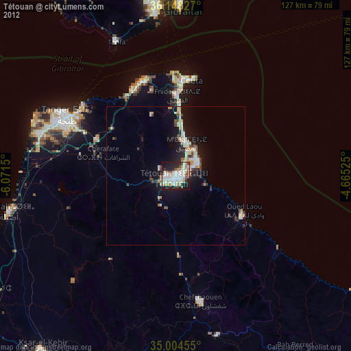
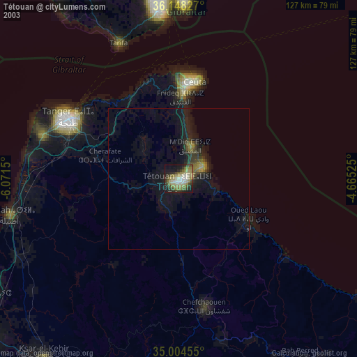
» NASA city lights 2003
» Earth at Night: Flat Maps 2012, 2016