Ouezzane night lights from space
Night Light of Ouezzane (Tanger-Tetouan-Al Hoceima) from space (Morocco) Src. Average luminocity for 10x10km area is 10.4707% and for 50x50km: 0.9055%.
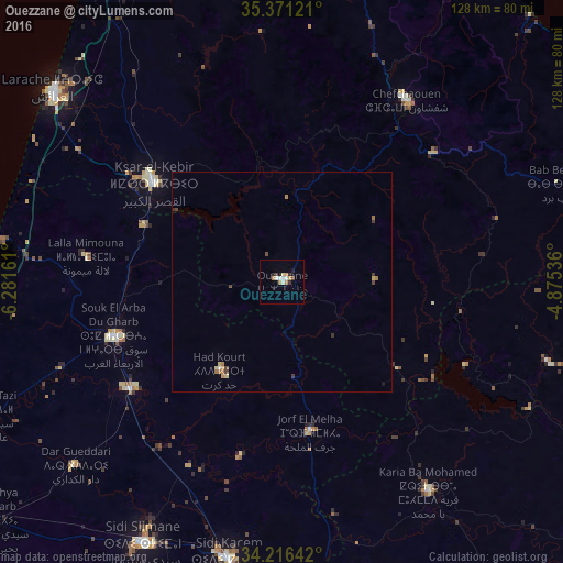
Analysis of Ouezzane night lights 2016
Square area 10x10 km:
 2.01%
2.01%90-99
1.65%80-89
0.73%70-79
1.47%60-69
2.2%50-59
0%40-49
0.73%30-39
1.65%20-29
1.28%10-19
1.47%0-9
86.81%Square area 50x50 km:
0.08%90-99
0.09%80-89
0.13%70-79
0.12%60-69
0.26%50-59
0.03%40-49
0.18%30-39
0.2%20-29
0.08%10-19
0.08%0-9
98.75%Clear (daylight) street map image can be seen on geolist.org.
Map coordinates:
35° 22' 16.4" North, 6° 16' 53.8" West
34° 47' 45" North, 5° 34' 42.6" West
34° 12' 59.1" North, 4° 52' 31.3" West
Some cities around Ouezzane sort by population:
• Larache
68.7 km =42.7 mi,  310°
310°
• Ksar El Kebir
37.4 km =23.2 mi, 307°
• Sidi Slimane
67.1 km =41.7 mi,  208°
208°
• Sidi Qacem
65 km =40.4 mi,  190°
190°
• Souq Larb’a al Gharb
40.6 km =25.2 mi,  252°
252°
• Chefchaouene
50.4 km =31.3 mi,  34°
34°
• Asilah
85.2 km =52.9 mi,  330°
330°
• Mechraa Bel Ksiri
42.4 km =26.3 mi,  234°
234°
2540810 (p: 58,684)
Sources (retrieved 2019-11-25):
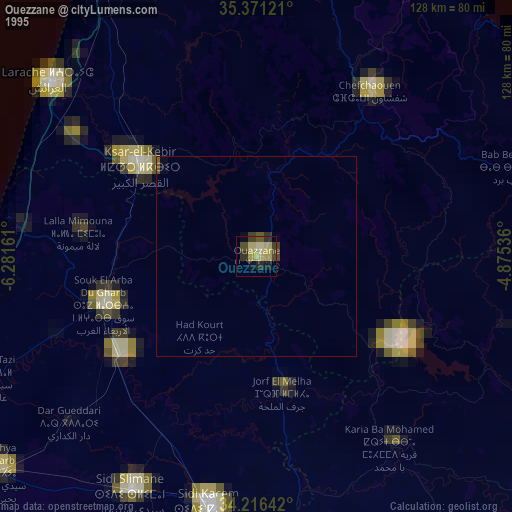
» NASA, Earths city lights 1995
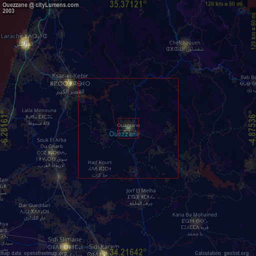
» NASA city lights 2003
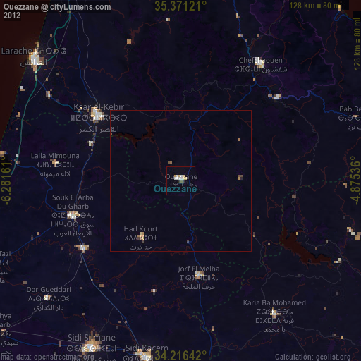
» Earth at Night: Flat Maps 2012, 2016