Guercif night lights from space
Night Light of Guercif (Fès-Meknès) from space (Morocco) Src. Average luminocity for 10x10km area is 30.7088% and for 50x50km: 1.5072%.
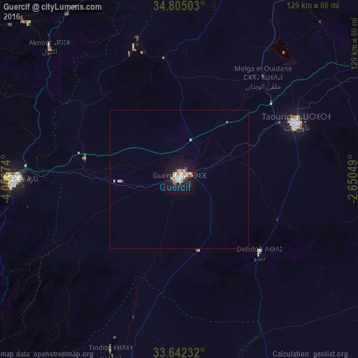
Analysis of Guercif night lights 2016
Square area 10x10 km:
 5.31%
5.31%90-99
5.13%80-89
5.13%70-79
5.13%60-69
3.85%50-59
1.1%40-49
2.01%30-39
3.48%20-29
3.11%10-19
32.23%0-9
33.52%Square area 50x50 km:
0.21%90-99
0.2%80-89
0.29%70-79
0.24%60-69
0.18%50-59
0.04%40-49
0.09%30-39
0.17%20-29
0.12%10-19
1.46%0-9
96.99%Clear (daylight) street map image can be seen on geolist.org.
Map coordinates:
34° 48' 18.1" North, 4° 3' 24.3" West
34° 13' 32.4" North, 3° 21' 13" West
33° 38' 32.4" North, 2° 39' 1.8" West
Some cities around Guercif sort by population:
• Taza
60.4 km =37.5 mi,  268°
268°
• Taourirt
46.5 km =28.9 mi,  64°
64°
• Al Aaroui
92.8 km =57.7 mi,  19°
19°
• El Aïoun
87.3 km =54.2 mi, 62°
• Zaïo
97.9 km =60.8 mi,  35°
35°
• Tahla
100.2 km =62.3 mi,  258°
258°
• Bni Bouayach
107.4 km =66.7 mi,  335°
335°
• Midar
81.1 km =50.4 mi,  348°
348°
2548489 (p: 57,544)
Sources (retrieved 2019-11-25):
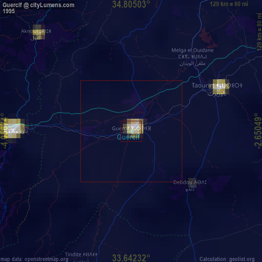
» NASA, Earths city lights 1995
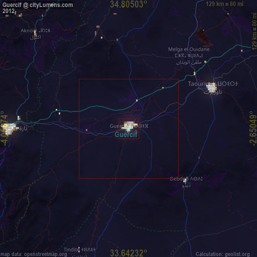
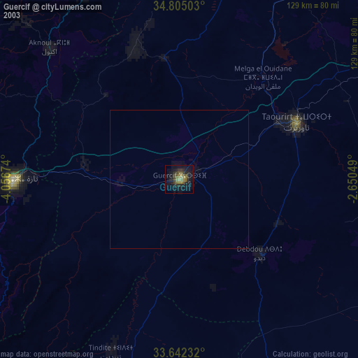
» NASA city lights 2003
» Earth at Night: Flat Maps 2012, 2016